SilentShadow87
Member
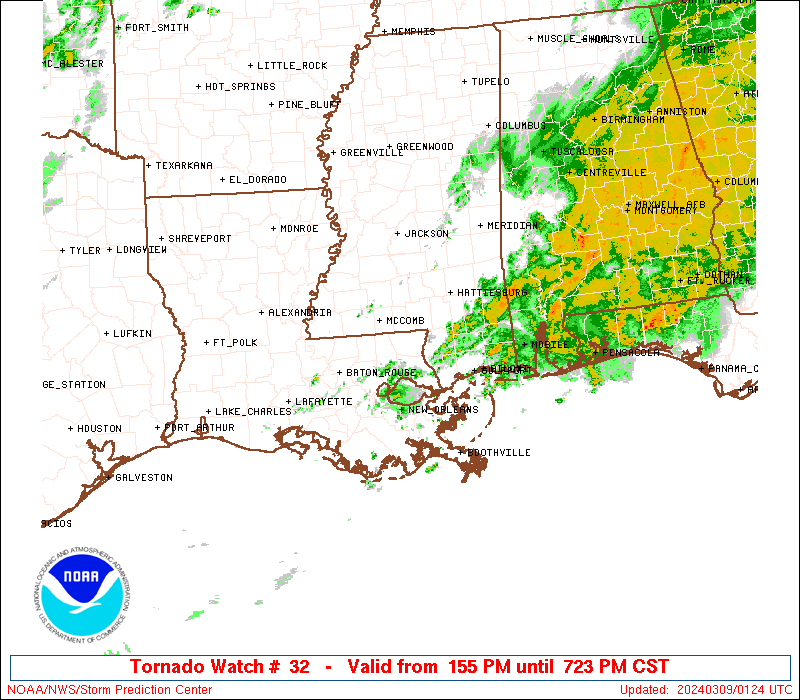
http://www.spc.noaa.gov/products/md/md0213.html
New meso discussion out (can't copy and paste well on this tablet)
Here ya go:
Mesoscale Discussion 0213
NWS Storm Prediction Center Norman OK
0651 PM CDT Tue Apr 03 2018
Areas affected...Western and middle Tennessee into northern
Mississippi and northwestern Alabama
Concerning...Severe potential...Watch likely
Valid 032351Z - 040145Z
Probability of Watch Issuance...80 percent
SUMMARY...Thunderstorm activity accompanied primarily by a risk for
potentially damaging wind gusts will overspread the region through
the 9-11 PM CDT time frame.
DISCUSSION...A broken pre-frontal line of thunderstorms is in the
process of progressing east of the Mississippi River, where the
boundary layer remains drier with dew points generally in the
lower/mid 50s. With an upstream cold front continuing to surge
through what is left of a plume of higher surface moisture content
near/west of the Mississippi River, little further low-level
moistening seems likely prior to the passage of the convective line
(aside from from some surface dew point increases with the loss of
daytime heating/mixing). It is possible, though, that present weak
instability and forcing for ascent may be enough to maintain fairly
vigorous convective development into the 02-04Z time. As long as
storms maintain some strength, in the presence of 40-50 kt deep
layer mean flow, a risk for potentially damaging wind gusts will
probably continue.
..Kerr/Thompson.. 04/03/2018
...Please see www.spc.noaa.gov for graphic product...
ATTN...WFO...OHX...BMX...HUN...PAH...MEG...JAN...
LAT...LON 36478859 36638651 36118519 34678663 33548824 33278982
33799075 35298965 36478859
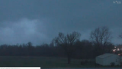
If the reports right now are any indication this is going to end up as an insane wind event. I agree with what Rolltide said, it may end up being another 4/4/11, although at the moment there appear to be more hail than wind reports.