• Welcome to TalkWeather!
    We see you lurking around TalkWeather! Take the extra step and join us today to view attachments, see less ads and maybe even join the discussion.
    CLICK TO JOIN TALKWEATHER
Logo 468x120

Archive Severe Potential 4/3-4/4

Lori

Administrator
Staff member
Administrator
Moderator
Messages
1,035
Reaction score
653
Location
Vandiver, AL
Special Affiliations
  1. SKYWARN® Volunteer
Gotta love living in the south (especially Bama) in April!! Ugh!


Sent from my iPhone using TalkWeather
 

amanda90

Member
Messages
27
Reaction score
11
Location
Memphis TN
NWS Memphis update:


Looks like primary threat in the MidSouth is high winds/hail. Still nasty, but I'll take it over tornados for sure...
 
Messages
46
Reaction score
40
Location
Mountain in East, AL
Special Affiliations
  1. SKYWARN® Volunteer
3k still showed a fair amount of instability late Tuesday night for most of North and central AL

Giddy up


Sent from my iPhone using Tapatalk
 

Fred Gossage

Member
Meteorologist
PerryW Project Supporter
Messages
596
Reaction score
2,095
Location
Florence, AL
NWS Memphis update:


Looks like primary threat in the MidSouth is high winds/hail. Still nasty, but I'll take it over tornados for sure...


There is still the threat of a few tornadoes as well, it's just not the primary risk. You're actually more likely to see a few small tornadoes than you are hail. Hail is usually very rare from a line of storms.
 

rolltide_130

Member
Messages
828
Reaction score
378
Location
Harvest, Alabama
Special Affiliations
That is one nasty line the 3km NAM is depicting. It doesn't look to occur down here, but there may be some semi discrete supercells in areas further north as well.

refcmp_uh001h.us_ov.png
 

rolltide_130

Member
Messages
828
Reaction score
378
Location
Harvest, Alabama
Special Affiliations
NWS Memphis update:


Looks like primary threat in the MidSouth is high winds/hail. Still nasty, but I'll take it over tornados for sure...


I definitely would not rule out a tornado threat up that way.. there are some fairly high STP values in W TN, and it's not impossible to get an isolated strong tornado embedded in a line.
 

amp1998

Member
Messages
57
Reaction score
41
Location
Alabama
From the AFD in Memphis this afternoon. Especially if a new low pressure develops on the cold front tomorrow, I would say there is a chance for a few strong tornadoes from NE Arkansas to the Ohio River tomorrow afternoon.
 

Attachments

  • Screenshot_2018-04-02-23-16-43.jpg
    Screenshot_2018-04-02-23-16-43.jpg
    1.7 MB · Views: 0
Messages
585
Reaction score
403
Location
St. Catharines, Ontario
Even if this falls flat in the discrete cell department, a strong QLCS can definitely still produce intense tornadoes. The April 26-27 squall lines during the '11 Super Outbreak spit out five EF3 tornadoes, with one being almost an EF4.
 

rolltide_130

Member
Messages
828
Reaction score
378
Location
Harvest, Alabama
Special Affiliations
Even if this falls flat in the discrete cell department, a strong QLCS can definitely still produce intense tornadoes. The April 26-27 squall lines during the '11 Super Outbreak spit out five EF3 tornadoes, with one being almost an EF4.

Potentially discrete is actually a little last second surprise the models are throwing in here, so even if it's linear I wouldn't call it "falling flat".

This may surprise some people tomorrow.. this is being a little sneaky.
 
Messages
585
Reaction score
403
Location
St. Catharines, Ontario
Potentially discrete is actually a little last second surprise the models are throwing in here, so even if it's linear I wouldn't call it "falling flat".

This may surprise some people tomorrow.. this is being a little sneaky.
True, and I did say if. This is a tricky system, that's for sure and I wouldn't be too surprised to see some discrete cells out of this.
 

warneagle

Member
Messages
3,729
Reaction score
3,208
Location
Arlington, VA
Special Affiliations
  1. SKYWARN® Volunteer
10% hatched TOR on the new Day 1. Definitely wouldn't sleep on some potential warm front riders, these Ohio Valley/Midwest events always seem good for a couple of those.
 

South AL Wx

Member
Meteorologist
Messages
309
Reaction score
311
Location
Wetumpka, AL
Special Affiliations
  1. SKYWARN® Volunteer
SPC says that an upgrade to a moderate risk is possible:

The addition of enhanced-level tornado probabilities is the main
update to the outlook for now. A few significant tornadoes may
occur as well, especially near the warm-frontal zone and western
part of the enhanced-risk area where relatively discrete convection
is more probable. Should potential for longer-lived supercells and/
or more-sustained bowing structures become apparent, categorical
upgrade to moderate-level wind or tornado probabilities may be
needed in a future update. For now, a little too much mode/
longevity uncertainty still exists to support such a jump.
 

Kory

Member
Messages
4,928
Reaction score
2,119
Location
Tuscaloosa, Alabama
10% hatched TOR on the new Day 1. Definitely wouldn't sleep on some potential warm front riders, these Ohio Valley/Midwest events always seem good for a couple of those.
Looks like we'll get an initial band from some outflow ahead of the main QLCS which will be discrete/semi-discrete in nature across KY/TN/IN. Then, the main QLCS evolves into a LEWP, which will enhance the damaging wind threat.

38wAScU.gif
 

rolltide_130

Member
Messages
828
Reaction score
378
Location
Harvest, Alabama
Special Affiliations
Operational HRRR seems to like the idea of some beefy supercells over western Tennessee and eastern Arkansas late in the day, through early evening, before it tries to evolve into a linear system.

Sometimes these things will take longer than forecast to turn linear which may bear a watch as well.
 

Fred Gossage

Member
Meteorologist
PerryW Project Supporter
Messages
596
Reaction score
2,095
Location
Florence, AL
Sometimes these things will take longer than forecast to turn linear which may bear a watch as well.

That's usually when there is capping or orientation of deep layer shear vectors is more supportive of discrete storms for a longer period of time. Those events take longer to turn linear from discrete than expected because the forecaster's expectation is incorrect, not because there's not a signal in the data to support the storms staying discrete for longer. Those two things that usually cause that are not the case this evening.
 
Last edited:

South AL Wx

Member
Meteorologist
Messages
309
Reaction score
311
Location
Wetumpka, AL
Special Affiliations
  1. SKYWARN® Volunteer
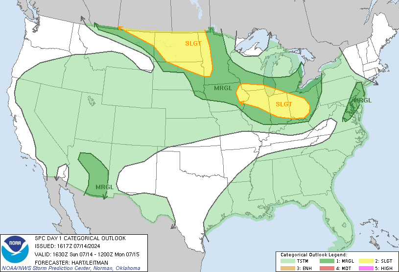
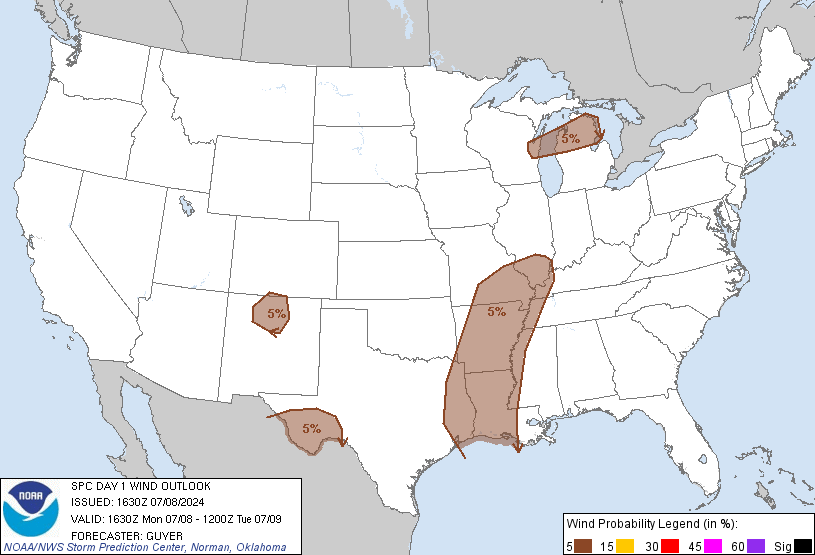
A rather large moderate risk has been issued, driven by 45% hatched damaging wind potential:

day1otlk_1630.gif


day1probotlk_1630_wind.gif
 
Back
Top