Speaking of Holly Springs, I recently came across a collection of ground level photos from the Lamar Rd vicinity which may have not been posted before. The tornado was very likely at EF5 intensity in this area, though as previously mentioned, the NWS Memphis survey was... iffy, at best. Anyhow:
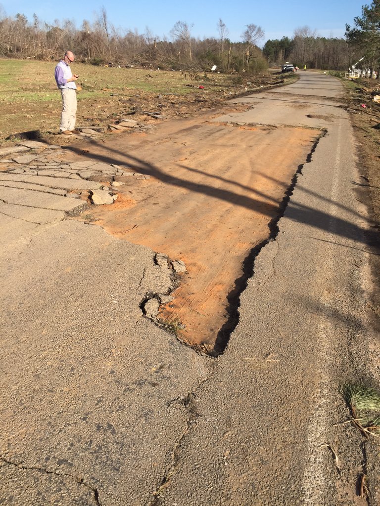
A large section of Lamar Rd itself was scoured away. Intense ground scouring is also evident in the background.
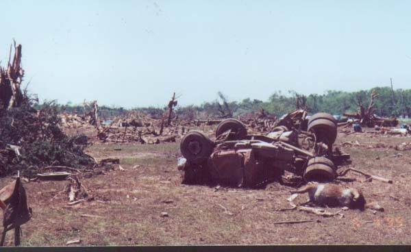
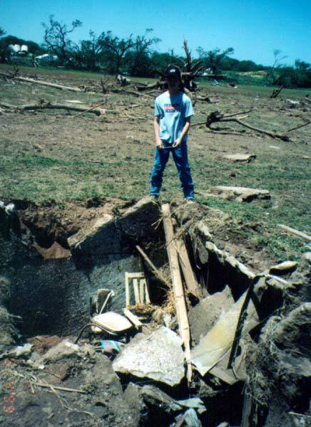
Well built homes away from the areas impacted by the most violent winds sustained roof and exterior wall loss. Poorly built homes were wiped out. Vehicles were thrown and mangled, and vast swaths of deforestation occurred. Note
possible ground scouring in the bottom right photo, can't confirm this, although there was definite scouring elsewhere.
Vehicle tossed and crushed.
The following photos are all of the same home, the only one in the area to be surveyed. It was a slab built, brick veneer frame home that was given a 165MPH EF3 rating, though I can't infer anything else about its construction. It is important to note that regardless of construction, this house didn't even sustain a direct hit, with the tornado's inner core passing between this house and another, though it was probably either on the edge of the violent damage core or hit by a subvortex.
Still the same home, but the vehicle damage gets much, MUCH worse:
There's no way to pinpoint exactly where the vehicle originated, but it ended up here, in a completely mangled and unrecognizable heap. It may have originated from one of the destroyed homes on Cherry Brown Rd or Brown Apple Ln, roads that run perpendicular to Lamar Rd, with a possible distance range of 0.05 miles to a quarter mile. Approximately 2.25 miles to the southwest of this vicinity, another cluster of homes was destroyed on Hoover Rd, so it may have originated from as far as there, or any of the rural roads between the areas. Who knows?
Between Cherry Brown Rd and Apple Ln, extreme ground scouring occurred, still plainly visible in this satellite view taken three months after the tornado.

The red line approximately marks the inner core of the tornado. Labels are as follows:
1. Home on the DAT, which the previous photos were of. The empty slab is from cleanup.
2. Home of unknown construction. The tornado's inner core just barely missed this home, though it likely still experienced winds of EF4+ intensity. It was destroyed (degree of damage unknown) and rebuilt after the tornado.
3. Was a mobile home before the tornado. Destroyed and replaced.
4. Home of unknown construction. Direct hit; it may have been a poorly constructed home, or a slab built home where the foundation was bulldozed during cleanup.
At least two mobile homes were eviscerated here; and multiple other homes sustained lesser degrees of damage. One of interest is a home out of frame at bottom left that probably sustained EF1 damage; it seems to have been abandoned after the tornado, as the 2021 satellite imagery showed it with the same degree of damage as in the March 2016 imagery.


/cloudfront-us-east-1.images.arcpublishing.com/gray/CRFLAA63GZEBBP5C5F7MSCRPQA.jpg)

