• Welcome to TalkWeather!
    We see you lurking around TalkWeather! Take the extra step and join us today to view attachments, see less ads and maybe even join the discussion.
    CLICK TO JOIN TALKWEATHER

Significant Tornado Events

View attachment 48009
Either the Lumpkin County EF2 or Lake Burton EF3
View attachment 48010
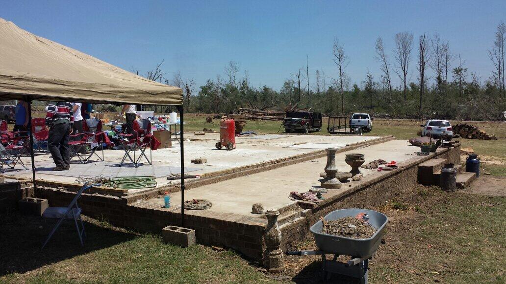
Unknown tornado
View attachment 48011
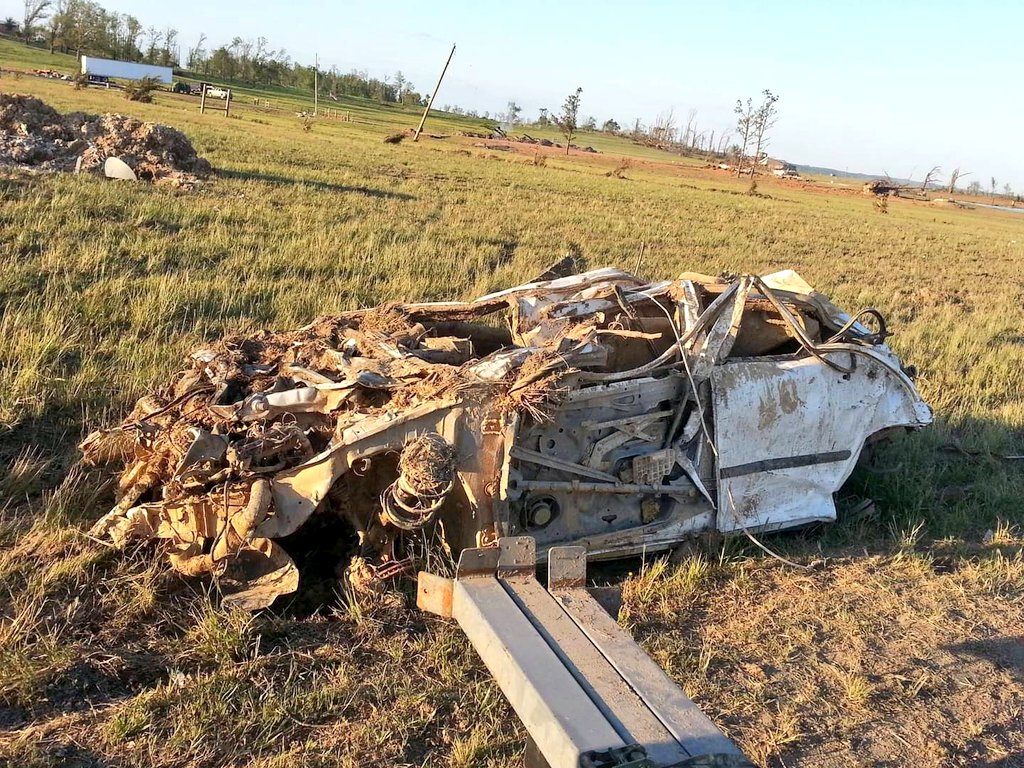
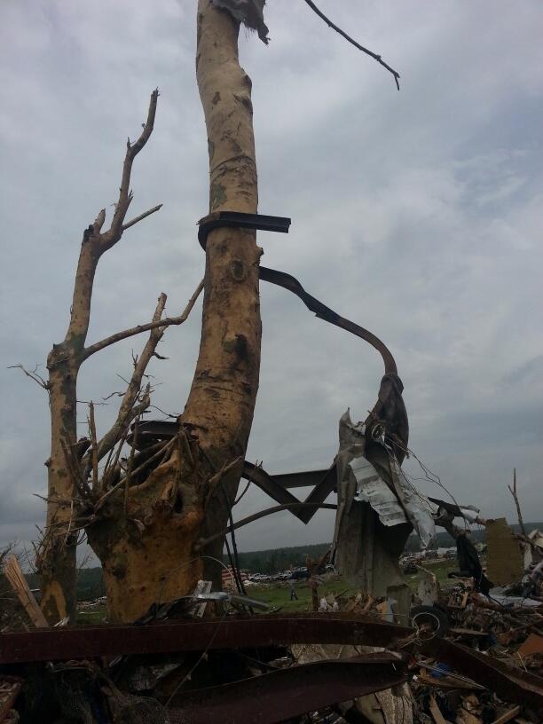
Tornado that moved through the Mulberry River and through I-65, if anyone could identify this tornado that’d be great
View attachment 48012
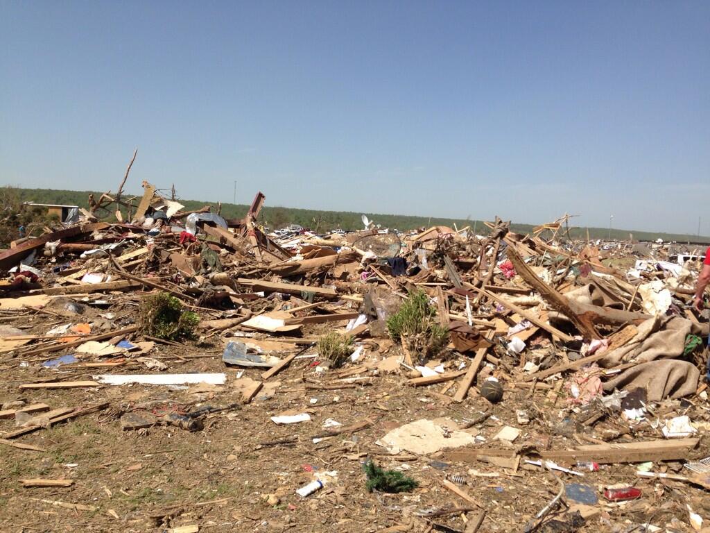
“Tornado-007”, no other information is attached
View attachment 48013
Birmingham tornado from the 17th floor of the Regions Herbert Plaza
View attachment 48014
Unknown tornado
The tornado that crossed the Mulberry Fork River and I-65 is most likely Cordova
 
Mk, last major photo dump, I promise:
IMG_1005.jpeg
Presumably the Tuscaloosa tornado
IMG_1006.jpeg
Cullman
IMG_1007.jpeg
Tuscaloosa
IMG_1008.jpeg
Birmingham
IMG_1009.jpeg
Birmingham tornado from the Corner area
IMG_1010.jpeg
Tuscaloosa
IMG_1011.jpeg
Cordova from the Sumiton area
IMG_1012.jpeg
Ohatchee

Virtually zero of the images I’ve shared above have more than 1,000 views on Flickr.
 
Last edited:
View attachment 48002
Tuscaloosa tornado seen from a window at the DCH; the tornado barely avoided hitting the building
View attachment 48003
Hackleburg storm near Moulton
View attachment 48004
Cullman tornado from Lake Guntersville
View attachment 48005
Rainsville tornado near Fyffe
View attachment 48006
Hackleburg tornado wall cloud near Hamilton
View attachment 48007
Hackleburg tornado’s initial stage from the 292 Quenton Road property in Hamilton
View attachment 48008
Hackleburg tornado near Harvest

More to come.
Have seen the last two, but the rest, brilliant finds!
 
Is it possible to geolocate this one? If it's Lake Burton, that's big, as that tornado specifically was an EF4 contender.
The title said “Donheloga tornado”, which made me think of Lake Burton. Likely another tornado from that day.
 
Last edited:
Oh yeah, I've checked Flickr but their new restrictions are stupid so you barely view any images for 5 minutes without popups. I've found some stuff on there, but it is admittedly frustrating to skim through.
It's something I've noticed as well. Flickr treats you like garbage if you don't have an account (kind of like twitter under Musk, but that's a story for another thread.)

Fortunately, I do have an account I used to upload some photos of a dead mall a few years ago, so I can browse as normal. I've found a lot of Joplin stuff on there.
Yeah, i remember using Flickr last year and you could browse very freely. Suddenly, all these restrictions have been put on and it's VERY annoying to navigate. On top of the fact, my searching methods don't seem to work as much as they did....
 
View attachment 46899
And this is probably the first event where we have location, size, direction and damage - March 17, 1752 in Calvert County, Maryland, moving southwest. "Blew down" buildings on a plantation with the collapse of a home, resulting in two deaths and two more injuries. Another tornado in the same county ten days later (mentioned at the bottom) "almost blew down" a strong brick-constructed building and cracked a gable.
This does make me somewhat curious, was this in the Pennsylvania Gazette? I know Benjamin Franklin was the publisher of that newspaper during the time.
 
EF5 damage in Vilonia.
media%2FBmvIFv1CUAAwOM7.jpg

media%2FBmbWWsQCEAIH54n.jpg


The remains of Wade Lentz's family home and vehicles:
media%2FGMM3o5kW4AAaeKq.jpg

media%2FGMM3pGgWUAAElZZ.jpg

media%2FFRYMzexXsAo0JOe.jpg

media%2FFu52pHSWcAcKvkg.jpg


Ground scouring:
media%2FBmVBYU9CEAAlIR2.jpg

media%2FBmXCdSkCMAAJVWT.jpg


Quarter embedded into a piece of wood:
media%2FBnCmSTDIAAAg46w.jpg


Steel beam from Vilonia Intermediate School wrapped around a debarked tree. The beam apparently traveled a mile and a half:
media%2FBmfWZp4CMAARh6K.jpg
The honorary 11th EF5. (Actually it's technically the 10th going by date, but eh.)
 
And if we want to get even more in-depth, there’s technically been ~15 EF5s - several of the 1974 F5s are officially counted as EF5s on the Damage Assessment Toolkit.
 
EF5 damage in Vilonia.
media%2FBmvIFv1CUAAwOM7.jpg

media%2FBmbWWsQCEAIH54n.jpg


The remains of Wade Lentz's family home and vehicles:
media%2FGMM3o5kW4AAaeKq.jpg

media%2FGMM3pGgWUAAElZZ.jpg

media%2FFRYMzexXsAo0JOe.jpg

media%2FFu52pHSWcAcKvkg.jpg


Ground scouring:
media%2FBmVBYU9CEAAlIR2.jpg

media%2FBmXCdSkCMAAJVWT.jpg


Quarter embedded into a piece of wood:
media%2FBnCmSTDIAAAg46w.jpg


Steel beam from Vilonia Intermediate School wrapped around a debarked tree. The beam apparently traveled a mile and a half:
media%2FBmfWZp4CMAARh6K.jpg
Which of these had DIs in the survey?
 
Which of these had DIs in the survey?
I'm 90% sure the first home is the infamous E Wicker St. home. The second one might be Marshall Rd S, but don't quote me on that, there's no picture attached on the DAT.

Wade Lentz's home, as well as the one on Beryl Rd, I know for a fact have no DIs.
 
EF5 damage in Vilonia.
media%2FBmvIFv1CUAAwOM7.jpg

media%2FBmbWWsQCEAIH54n.jpg


The remains of Wade Lentz's family home and vehicles:
media%2FGMM3o5kW4AAaeKq.jpg

media%2FGMM3pGgWUAAElZZ.jpg

media%2FFRYMzexXsAo0JOe.jpg

media%2FFu52pHSWcAcKvkg.jpg


Ground scouring:
media%2FBmVBYU9CEAAlIR2.jpg

media%2FBmXCdSkCMAAJVWT.jpg


Quarter embedded into a piece of wood:
media%2FBnCmSTDIAAAg46w.jpg


Steel beam from Vilonia Intermediate School wrapped around a debarked tree. The beam apparently traveled a mile and a half:
media%2FBmfWZp4CMAARh6K.jpg
RE: first picture

Can we talk about the fact that these folks are having a cookout, doubtless provided by friends and neighbors, on their slab that was once a home? That image shows the inherent goodness of the American people in a way that makes me kinda misty.
 
I believe this is potentially new footage that was randomly uploaded two months ago of Tuscaloosa. I really can't remember seeing this anywhere else on YT, FB or any other platform. It looks similar but if new, this is no doubt very intense footage. The incredible motion, horizontal vortices. These two were VERY close!

 
I believe this is potentially new footage that was randomly uploaded two months ago of Tuscaloosa. I really can't remember seeing this anywhere else on YT, FB or any other platform. It looks similar but if new, this is no doubt very intense footage. The incredible motion, horizontal vortices. These two were VERY close!


Unfortunately, it's just a reupload of an existing video:
 
Back
Top