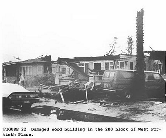
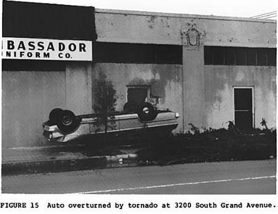
Well it’s finally done, here is the May 4, 2007 Greensburg tornado track map and the ‘Big 4’ track map as well. Greensburg also has a contour map which was created by meticulously (and I mean VERY meticulously) examining dozens upon dozens of aerial and ground photos/videos coupled with the aerial imagery, Tim Marshall’s survey, and eyewitness reports. Since this is the first EF5 I’ve mapped, I decided to do something a bit different. There are now two contours for the EF5 areas, one is light pink and is where ‘plausible EF5’ damage occurred or where EF5 winds may have occurred, then the dark purple, where the ‘offically rated EF5’ areas are, OR, where EF5 winds almost certainly occurred and where extreme damage occurred that’s synonymous with an EF5 tornado. I’ve got to say I was surprised how many intense areas of damage there was in Greensburg, especially in northern parts of the city where some of the most impressive damage I’ve seen occurred. A large Mennonite Church and multiple homes were swept completely away, trees were 100% debarked, wind-rowing occurred, and ground scouring was also evident. Anyways, here’s the map for you guys to check out (it’s a little messier than I expected). You can also click on the purple contour areas in the northern side of the city for a damage description.