Aaron Rider
Member
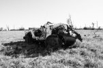
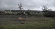
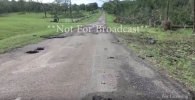
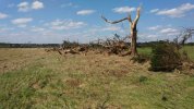
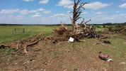
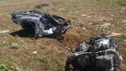
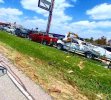
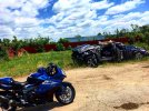
Very simply because they were rushed understandably and botched the survey and just missed stuff. That's the reason. The great Tornado Talk article about this got pay walled.While we’re on contextuals, how did the 2011 Houston-Okolona, MS EF3 (direct predecessor to Smithville) only get an EF3 rating? I’ve heard it’s done some extreme tree damage, I feel like the rating isn’t talked about enough because of how many tornadoes touched down that day and the fact that it seems trivial.