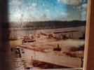
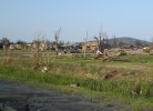
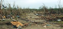
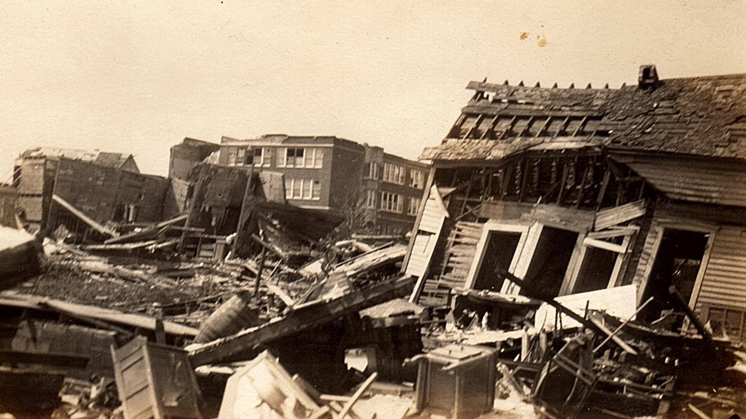
From there, the tornado swept down the hill and plowed through the eastern half of the little town. You can certainly see why Grazulis describes it as "F5-looking" damage or some such, although none of the houses were particularly well-built. These first two shots are along 3rd St (looking east and west respectively), which is Fremont's main street.
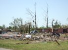
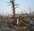
Pretty much a total wipeout. Another three people were killed here, but thankfully most had just enough time to get into cellars or basements. Several vehicles were apparently "torn apart" or "crushed into balls," although I haven't found any good photos yet. One truck parked near the railroad tracks was picked up, hurled across the creek and thrown into the woods on the opposite hillside (probably 300-400 yds).
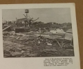
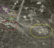
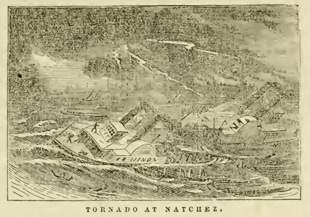
Newspaper clipping showing a closer view centered on the intersection of 3rd & Plum:
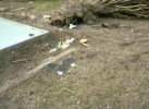
One of the other fatalities occurred here:
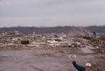
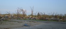
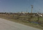
A panorama of the hardest-hit area (I've stitched it together from two separate photos taken from slightly different perspectives, so if anything looks a little bit off.. just ignore it lol):
These I still need to play around with in Photoshop to see if I can clean up the film burn a bit. They span from around Ash St to near the east edge of town:
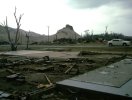
The tornado remained intense for several miles as it moved NE/ENE from Fremont, totally demolishing roughly a dozen more homes and farmsteads and causing a number of injuries. It began weakening as it neared Van Buren but still destroyed a small cluster of houses and a church just SW of town. This is a place called Trumbull Hill at the intersection of Main St & State Hwy M (looking roughly due E):
Unfortunately, a final fatality occurred just NE of here when a man was killed while fishing near the bridge on the Current River. There are differing accounts as to exactly what happened so I'm still working on sorting that out, but the most likely cause was falling trees and/or debris. The tornado then cut through the southern half of Van Buren, where the damage was notably less intense (widespread F1-F2 with maybe a few scattered spots of F3). Don't have many good photos yet though.
From there, it mostly caused tree damage aside from a few roofs peeled up and barns blown over. The parent supercell continued spitting out tornadoes for quite a while though and I'm still trying to piece together where the paths start and end. At the least, there was a fairly long-tracked F1 (likely underrated) near Leeper and Silva, an undocumented tornado between Hiram and Grassy, a pretty large F2 near Burfordville and an F3 across the Mississippi in Alto Pass and Makanda, IL. All together, the tornado family covered roughly 140 miles (maybe up to 170 if the earlier damage in Howell County, MO is related).


")