It does appear that the Guin tornado produced extremely intense ground scouring within a narrow swath while moving at 70+ knots.
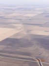
Scouring indicated by dark streaks at at top right, with a bare foundation (partly removed?) at the end of a driveway immediately to the left of the streaks:
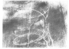
Dark splotches indicate likely intense scouring at top left, near the centre of the narrow but intense swath of extreme destruction:
This image from Guin definitely seems to show not only extremely intense ground scouring in the foreground, but also some evidence of debris granulation:
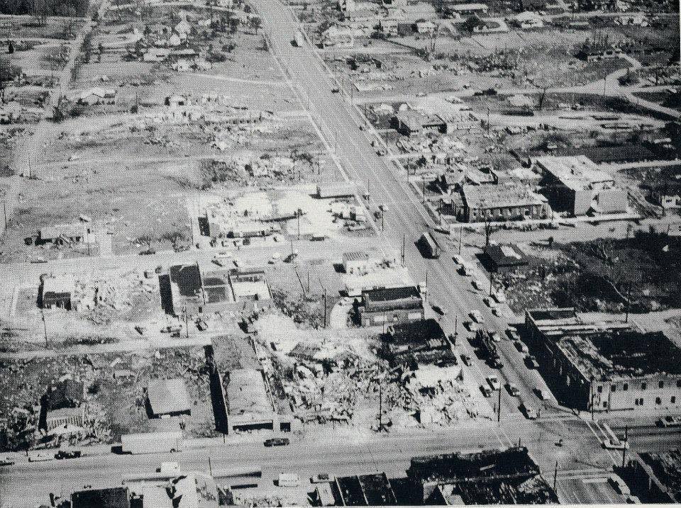
The following image seemingly further confirms the existence of intense ground scouring along the entire path through Guin (compare with images one and two to verify locations):
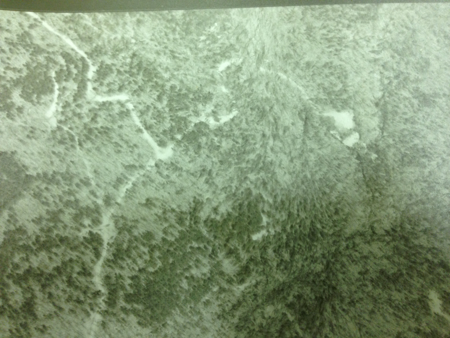
Bankhead National Forest after the Guin tornado: note the intense band of inflow indicating near-total felling and possible (likely?) debarking of trees just right of top centre, very similar to the tree damage near the funeral home in Smithville.
Comparison with Smithville damage near the funeral home, seen at right-centre:
A closer view of the Smithville damage for comparison with the Bankhead impacts:
The more I read, the more I think Guin
may deserve its upper-tier status, given the extremely short duration and narrow streak of intense winds.