

Kds86z
Member
HAZARD WITH THE MOST INTENSE STORMS;
HOWEVER, SOME TORNADO THREAT COULD MATERIALIZE FROM PORTIONS OF IN
AND OH INTO MIDDLE TN WITHIN THE ZONE OF STRONGER LOW-LEVEL SHEAR.
Follow along with the video below to see how to install our site as a web app on your home screen.
Note: This feature may not be available in some browsers.
HAZARD WITH THE MOST INTENSE STORMS;


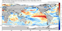

TNI values are currently at almost +3. You can even see the extreme temperature gradient across the equatorial pacific. Hard to imagine this won't lead to significant severe weather in the coming weeks/months.
View attachment 54398
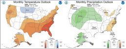
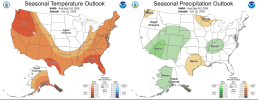
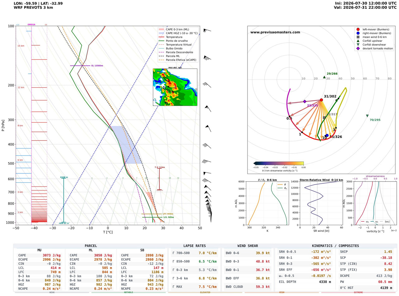
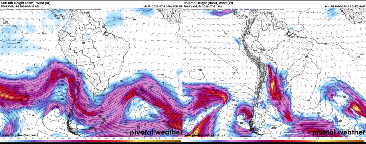
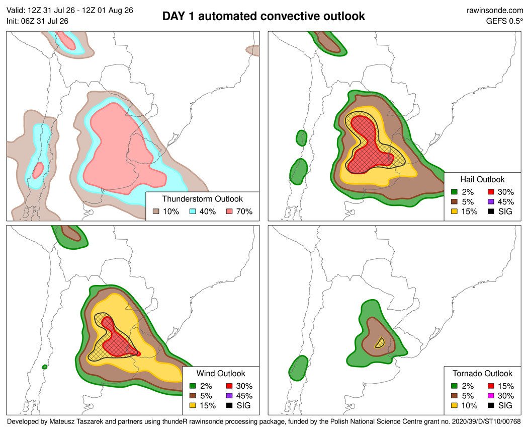
It also looks like a favorable pattern could set up about a month from now and severe weather will impact the Northern Plains and Midwest before shifting south towards the Tennessee valley.GFS has been moderately consistent with a shortwave or three moving through the Midwest around the 8/7-11 timeframe; exact timing, placement and ceiling varies from run to run as to be expected at this range.

.gif)
.png)
.jpg)


Absolutely baffling that there's zero thought behind these changes, like what are we even doing? What even is the point of this? Despite AI being capable of doing great things, it's incredibly difficult to be pro-AI right now when the only motives behind implementing these features is money and generating slop. Thanks for the heads-up on this, didn't even hear about it.Just want to warn that if we happen to see any major tornadoes in question the next few months, please be wary of Google Earth. Yes, i said Google Earth. Google released a feature that allows you to generate images based off Nano Banana in any location. This means you can generate anything. Disasters like tornadoes and flooding, and bombs + missile craters. This post is for the tornado aspect of that, but i decided to test my own hometown on satellite and i was able to generate all of these which is concerning. Anyways, back on topic. If Google doesn't change much about this, disaster aftermaths will become riddled with misinformation. Here's proof regarding tornadoes.
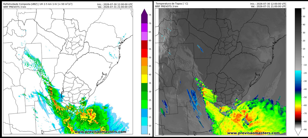
Was just looking at that. Nam is the most volatile currently, wondering if the hrrr catches up.Sounding from Coosa County, AL off the NAM Saturday evening. Obviously, not a classic tornado sounding for this area, but not what you'd expect for early August in the South, either. Straight-line winds will still probably be the primary hazard, but could certainly see some spin-ups supported by our synoptic forcing. Instability Sunday actually looks to be a good bit higher across parts of Alabama and Georgia, so could pose another round of severe storms if sufficient initiation occurs. Wind profiles a lot more unidirectional at that point, as the low moves off to the north and east throughout the day into early Monday.
View attachment 54424

