HRRR isn't as aggressive, but it's not a snoozer either, popping a few notable cells near Anniston in the evening.Was just looking at that. Nam is the most volatile currently, wondering if the hrrr catches up.
Follow along with the video below to see how to install our site as a web app on your home screen.
Note: This feature may not be available in some browsers.
HRRR isn't as aggressive, but it's not a snoozer either, popping a few notable cells near Anniston in the evening.Was just looking at that. Nam is the most volatile currently, wondering if the hrrr catches up.

Sometime that should really be kept an eye on Clancy and it’s something that contributed to a major uptick in tornado potential in Alabama before. Is the rapidly deepening low. It’s been trending towards a rapid deepening and that tends to increase wind shear more favorably for the Deep South considering where the low is. January 12 2023 the day that produced the Kingston multi vortex ef3 tornado. The low pressure dropped a lot quicker if I remember correctly and backed the winds more turning the day into a deadly tornado outbreak. Not saying tommorw will be. But something that needs to be watched. Although my memory maybe a bit foggy on that event. But I do think from what I read that deeping low pressures back the winds moreHRRR isn't as aggressive, but it's not a snoozer either, popping a few notable cells near Anniston in the evening.
View attachment 54426

Upgrade to 5 or 10%?Newest day 2
SOME TORNADO RISK ALSO IS APPARENT, ESPECIALLY NEAR THE
TRIPLE POINT, WHERE 0-1 KM SRH WILL BE MAXIMIZED. HOWEVER, THE
IMPACT OF EARLY DAY CONVECTION AND CLOUDINESS ON LOW-LEVEL LAPSE
RATES/DESTABILIZATION LEADS TO UNCERTAINTY IN THE EXTENT OF MORE
ROBUST TORNADO POTENTIAL AS LOW-LEVEL INSTABILITY MAY BE
INSUFFICIENT TO TAKE ADVANTAGE OF THE SMALL AREA OF ENHANCED
LOW-LEVEL SRH, PRECLUDING HIGHER TORNADO PROBABILITIES AT THIS TIME.
It’s 2%Upgrade to 5 or 10%?

SRW is notably around 30 kts, and i feel like this would favor very grungy, anemic mini supercells. Think if a tornado somehow managed out of this, it'd be from a random mesoscale vorticity interaction.Sounding from Coosa County, AL off the NAM Saturday evening. Obviously, not a classic tornado sounding for this area, but not what you'd expect for early August in the South, either. Straight-line winds will still probably be the primary hazard, but could certainly see some spin-ups supported by our synoptic forcing. Instability Sunday actually looks to be a good bit higher across parts of Alabama and Georgia, so could pose another round of severe storms if sufficient initiation occurs. Wind profiles a lot more unidirectional at that point, as the low moves off to the north and east throughout the day into early Monday.
View attachment 54424
Don't think it completely failed, think there was a small spin-up at some point. Also the southeast cell has some interesting regions of spin on it.SRW is notably around 30 kts, and i feel like this would favor very grungy, anemic mini supercells. Think if a tornado somehow managed out of this, it'd be from a random mesoscale vorticity interaction.
Speaking of, we just had a very interesting "failed" torgen case in Missouri. The supercell seemingly wrapped up with a good nudger, but considering the nature of today's setup, I expected this nudger to cause a imbalance of the storm's downdraft. It had two strong couplets and failed both times. Mini supercell setups need stretching more than nudging because it can hurt a storm significantly. We were close to a strong tornado but something cut it off in its inflow or the nudger was just too strong. Very, very interesting and proves there's so much more to nudgers than what we've know about.

No concrete evidence yet to prove it touched down or anything. All I said is being put to prove as every single nudge a cell has got hasn't resulted in much.Don't think it completely failed, think there was a small spin-up at some point. Also the southeast cell has some interesting regions of spin on it.
EDIT: Also the cell is attempting to hook again interestingly.
Mini sups often tend to accomplish a lot more than I expect them to; to me, they're perhaps the most fascinating. We've had quite a number of incidents in Georgia over the past few years where some very weak, low-topped storms in relatively unfavorable environments produced tornadoes, sometimes fairly potent ones. It seemingly comes down mostly to chance, but when they line up in the right spot, they will absolutely take advantage of even the weakest of boundaries and localized areas of enhanced helicity. There's definitely a lot of subtlety to the mesoscale and microscale of instances like these, and there seems to be a lot yet to be learned about what exactly happens before and during.SRW is notably around 30 kts, and i feel like this would favor very grungy, anemic mini supercells. Think if a tornado somehow managed out of this, it'd be from a random mesoscale vorticity interaction.
Speaking of, we just had a very interesting "failed" torgen case in Missouri. The supercell seemingly wrapped up with a good nudger, but considering the nature of today's setup, I expected this nudger to cause a imbalance of the storm's downdraft. It had two strong couplets and failed both times. Mini supercell setups need stretching more than nudging because it can hurt a storm significantly. We were close to a strong tornado but something cut it off in its inflow or the nudger was just too strong. Very, very interesting and proves there's so much more to nudgers than what we've know about.

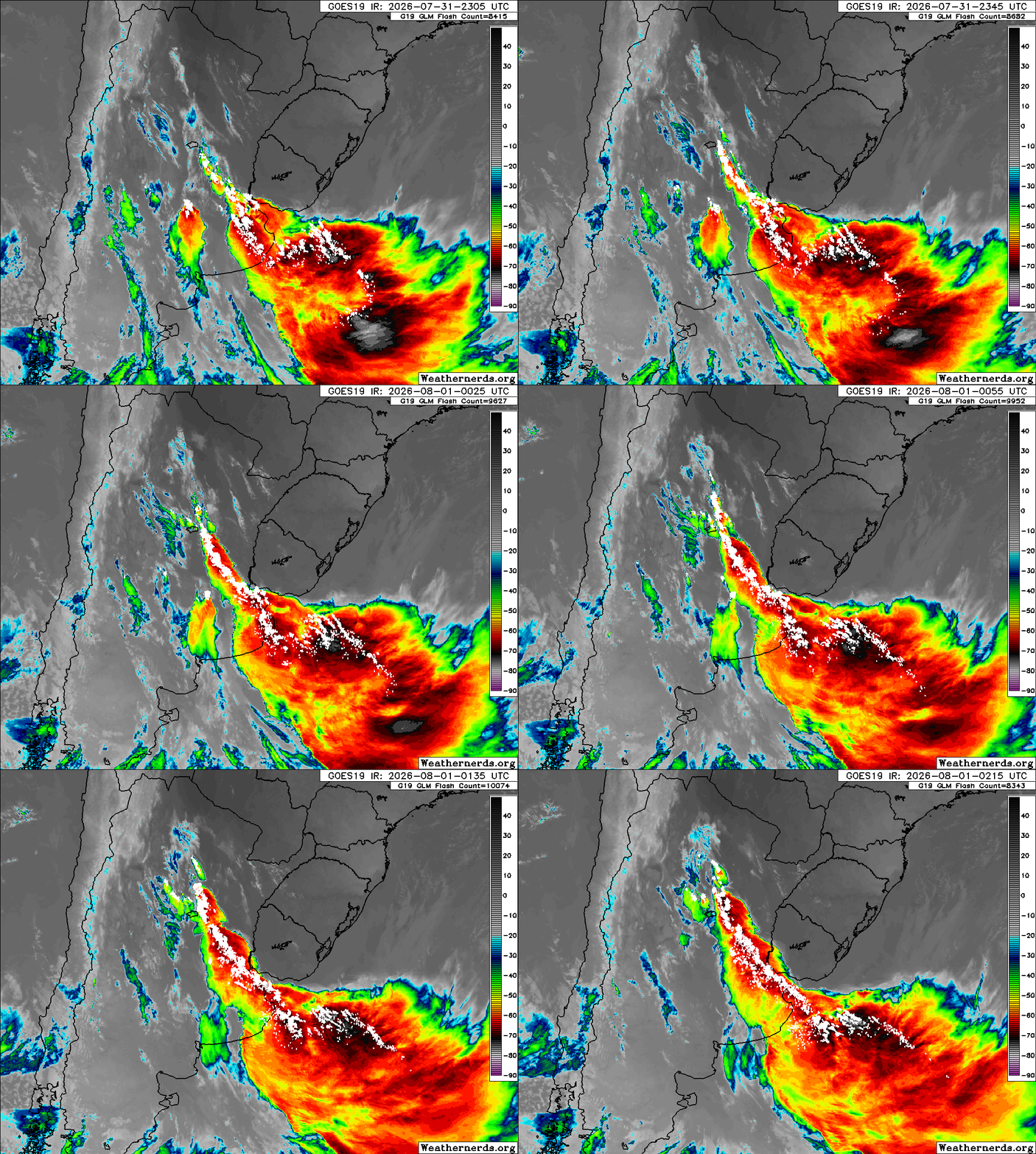
It's been a pretty historic year for them while it's been rather quiet up here.Looks like a (full fledged?) tornado outbreak going on in south America lots and lots of videos coming out from there