Kory
Member
Looks like the CFS is lighting up come the second half of March and onward.Looks like the phase is going to not happen properly, next.
Follow along with the video below to see how to install our site as a web app on your home screen.
Note: This feature may not be available in some browsers.
Looks like the CFS is lighting up come the second half of March and onward.Looks like the phase is going to not happen properly, next.
Way out in voodoo land but I’ll be keeping my eye on the March 13-15 time period.Looks like the CFS is lighting up come the second half of March and onward.
hopefully March go out roaring like a lion ... do like long range pattern ... could be heading for a active spring pretty much overall ... finally ....We’ll finally be getting into a warmer and more interesting pattern later this month after one more spell of brutal cold. In like a lion, etc.
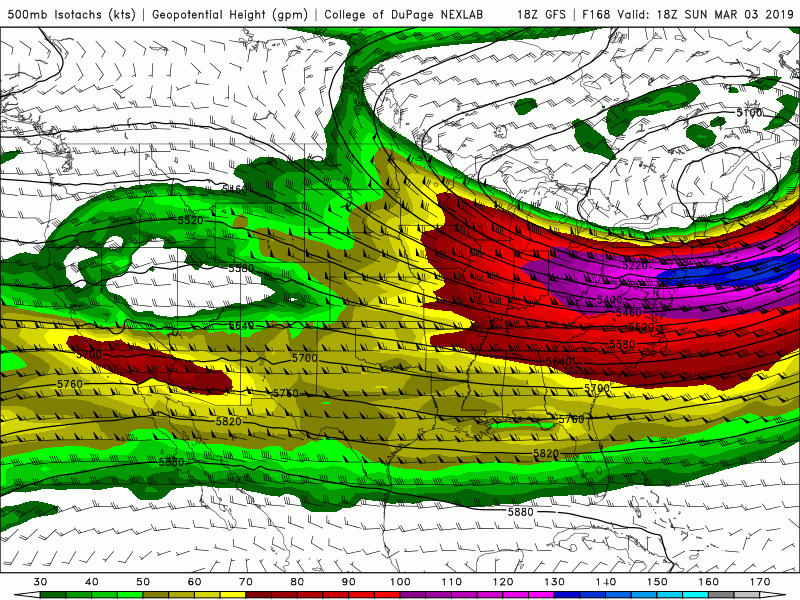
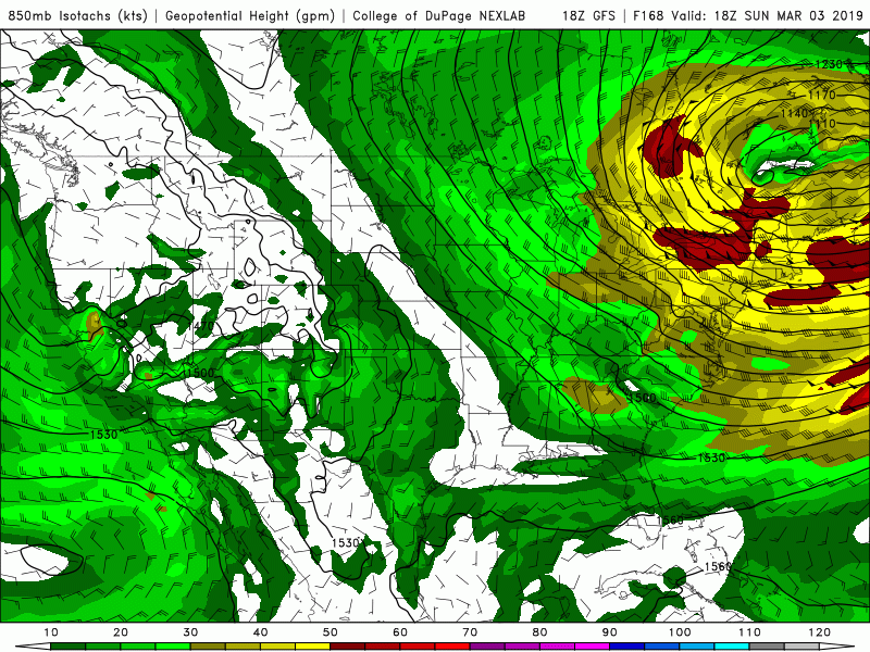
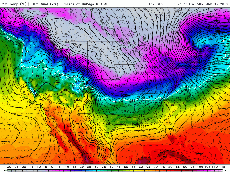
GFS ensembles have nosed northward with instability, but it is not quite on the level of the Euro with rapid cyclogenesis and jet dynamics.Both the 12z and 00z Euro runs had something on Sunday with a low amplitude wave passing through the zonal flow south of the TPV over Hudson Bay and amplifying the low level flow considerably with plenty of moisture in place. Would likely be a substantial threat for AL and GA. Not quite showing up on the remainder of guidance, but certainly an idea to watch.
You mean this Friday? Sorry, I guess I derailed the thread a bit with my random interjection about next weekend.The Euro QFP is nothing but supercells moving WSW to ENE across MS/AL/GA.
Sunday March 3rd.You mean this Friday? Sorry, I guess I derailed the thread a bit with my random interjection about next weekend.
Oh. Duh. Sorry, idk where I got Friday from. My brain isn’t braining good at the momentSunday March 3rd.


As soon as I write this system off, the Euro roars back with a substantial event. Of course lol
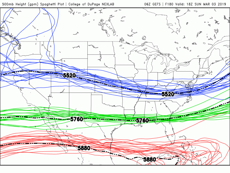
The GFS seems to be slowly trending in the direction of the EURO, and you also have the the CMC, and UK that show deeper surface cyclogenesis.