Hurricane Tornado setups are always a hit or miss. It's always a question if mesoscale-wise, can tornadic supercells form along with the outer bands of the hurricane at the perfect time before they become too weak? Instability is usually the missing factor, but if warm air, in general, is present ahead of an approaching hurricane, that will serve to boost the outbreak's potential. Hurricane-spawned tornadoes can also last pretty long too, some of which have tracked over 40 miles. This post will take a look at some hurricane-spawned tornadoes I have in my archives.
By far the worst hurricane-spawned tornado that I know of occurred on October 3rd, 1964, when the landfalling hurricane Hilda generated a tornadic supercell from its bands, which dropped a violent tornado right of Larose, Louisiana. The quick-hitting tornado was only down for less than two miles, but in that time span, it leveled several homes and killed 22 people. ERA5 reanalysis depicts some
unusually high instability for a hurricane setup. It takes some time to get used to the weird hodograph and the wind profiles, but that's typical of northeastern flow tornado setups, such as the 1987 Edmonton Tornado, and tropical cyclones. There were likely more tornadoes, but Larose is the only city located in what mostly is a marshy area. Although the lower level lapse rates are marginal, the kinematics associated with a hurricane, especially a Category 4 like Hilda, is easily strong enough to sustain storms in weaker thermodynamic environments.

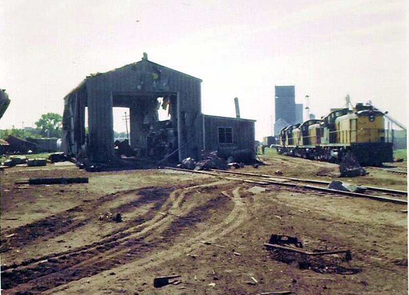
As typical with most hurricane setups, the tornado would have been very low based and hard to see coming. Here are some of the damage photos I have from that tornado.


Another significant tornado event occurred with the famous "wrong-way" hurricane, also known as Lenny, off of Puerto Rico in 1999. All tropical cyclones are constantly evolving new bands and supercells throughout their lifespans, which makes it a guarantee that there were several, possibly even hundreds of waterspouts generated by tropical cyclones that thankfully hit nothing. Here are some radar pictures of some likely strong waterspouts off of Puerto Rico in association with Lenny. I am going to dive further into the world of offshore tornadoes in a later post.


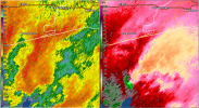
The third of the five events I am going to talk about occurred in association with Hurricane Ivan on September 17th, 2004. A long-tracked, cyclic supercell dropped two noteworthy tornadoes. The first touched down in a rural area, but the rotational signature associated with that tornado was very, very high-end. I am GLAD it remained in rural areas. Here is the radar scan of the first tornado below.

The next tornado touched down near the city of Blountstown, FL, which is no stranger to both non-tropical cyclone-related and tropical cyclone-related tornadoes. It passed very close to the city, striking two mobile homes and killing two people.
Radar scan of that tornadic storm:

Scar left behind from that tornado:


