RF16Gold
Member
Wow! It is 86 in Evergreen and only 62 in Montgomery, and 68 in Greenville. What a warm front.
Follow along with the video below to see how to install our site as a web app on your home screen.
Note: This feature may not be available in some browsers.
Alright guys so this is a Forecasted Convective Amplification Deficiency already right? /sarcasm
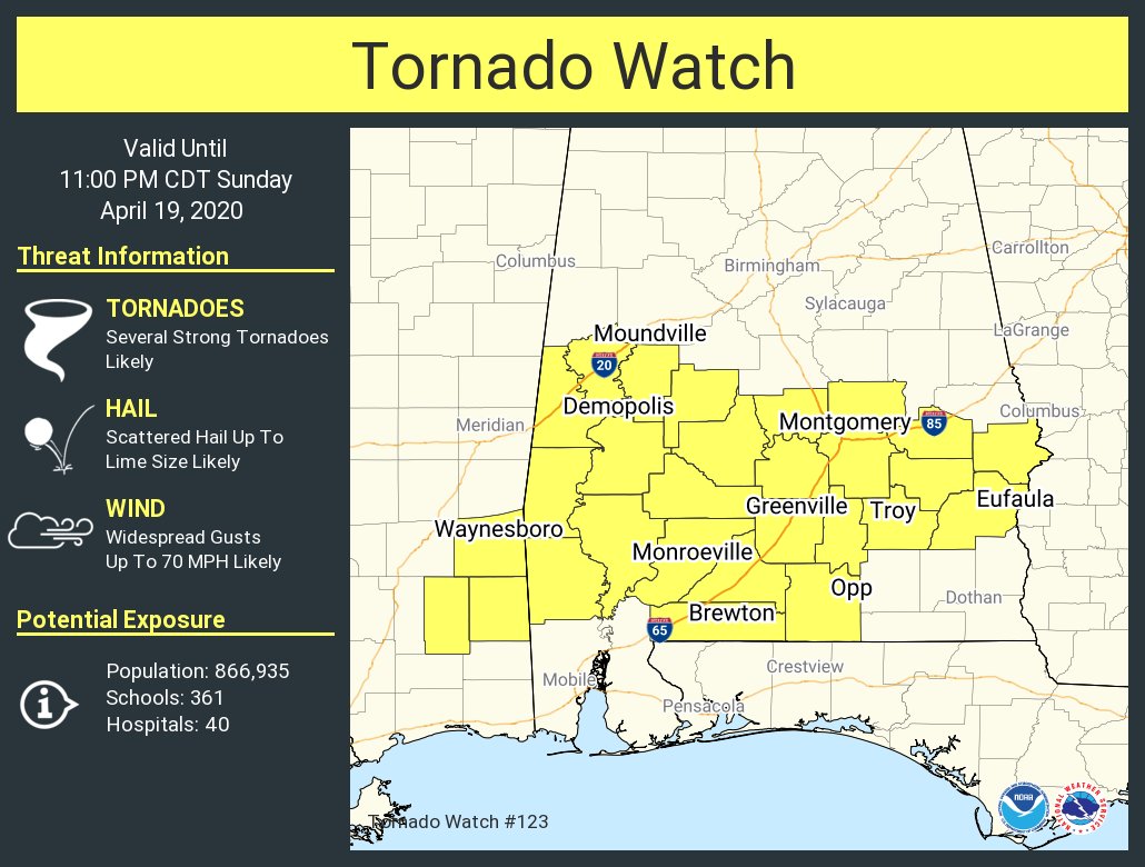
I don't think we're going to see a maximized threat until the LLJ kicks in later this evening. There was already one cell that took a hard right turn just east of jackson and started riding the front, and chasers on the storm reported very disorganized structure. The cell merger N of Laurel, MS is something to watch out for as the evening progresses.
3.87" at my house since midnight. We just eclipsed the 40" mark on the year. And the bottom just fell out of it again.It has been pouring in Tuscaloosa. We might hit 4-5” once all is said and done.
Cell near Laurel is riding the warm front. Watching it closely as if it gets a tad bit better organized it should easily be capable of dropping a TOR in a favorable environment.
And right on cue it's disorganizing. I think the veering winds are killing the tornado potential right now. Later tonight will likely be another story.Cell near Laurel is riding the warm front. Watching it closely as if it gets a tad bit better organized it should easily be capable of dropping a TOR in a favorable environment.
Tail end charlie near Tillman looks like it's trying to form an embedded supercell. Pretty notable rotation as well on that.Need a TOR SW of Jackson, MS.
Many of the cells in that group are working on "the look". now and again.. Think if it was a couple true discrete it would be troubleWatch the cell near Quitman. It's trying to get its act together in a hurry.


