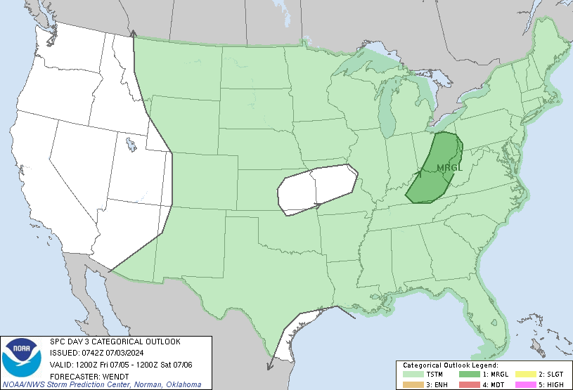
Enhanced Risk now out for Saturday.
For a day 3 pretty impressive
From SPC
..Mid South/Tennessee Valley into the central Gulf Coast states...
Widespread showers and thunderstorms are forecast to be ongoing over
western fringes of the outlook area Saturday morning. The
associated cloud cover casts some uncertainty with respect to degree
of warm-sector destabilization which will be possible downstream.
Greatest CAPE will likely evolve from central Alabama south to the
central Gulf Coast, as southwest flow aloft should carry thicker
cloud debris across the Tennessee Valley region.
As the airmass destabilizes, expect reintensification of storms
near/ahead of the advancing front, with organization aided by strong
low- to mid-level flow likely to exceed 50 to 60 kt in the 850 to
500 mb layer over portions of the Alabama vicinity by late
afternoon. While somewhat unidirectional/southerly flow should
limit low-level shear to some degree, and roughly front-parallel
flow and linear frontal forcing suggests linear storm mode, damaging
winds can be expected with passage of the frontal storm band. Hail
-- and a tornado or two -- will also be possible, particularly with
southward extent. A gradual decrease in storm intensity/severe risk
should commence later in the evening, as convection reaches the
southern Appalachians and Florida Panhandle.
Sent from my iPhone using Tapatalk

") It's all good. Personally, I don't think any severe threat should be under-played because people are so complacent anyway, but that's just me. LOL
It's all good. Personally, I don't think any severe threat should be under-played because people are so complacent anyway, but that's just me. LOL