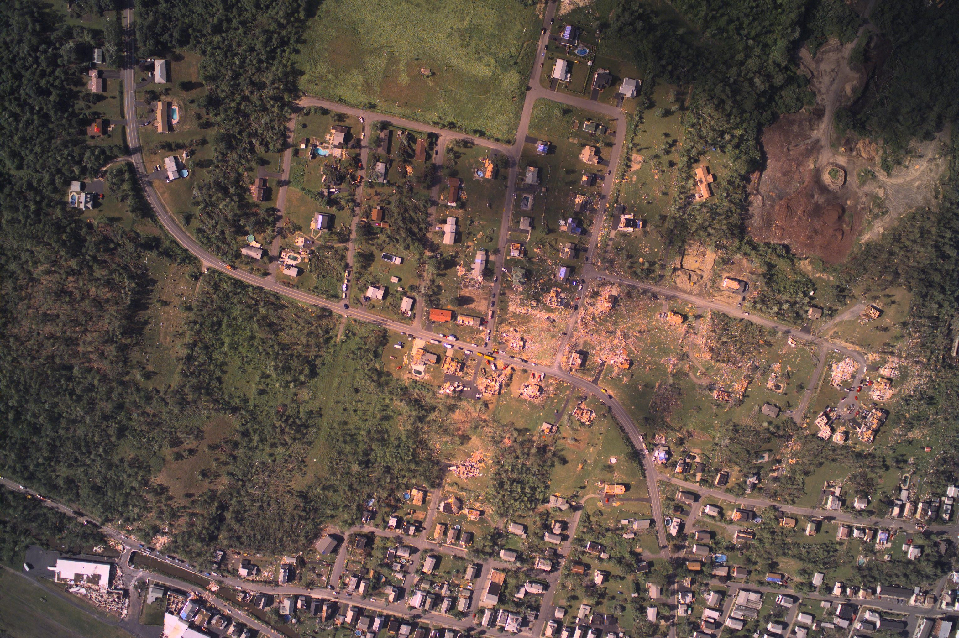
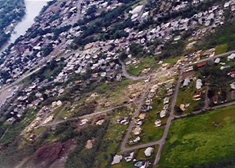
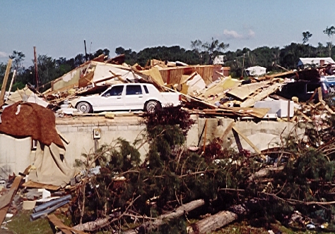
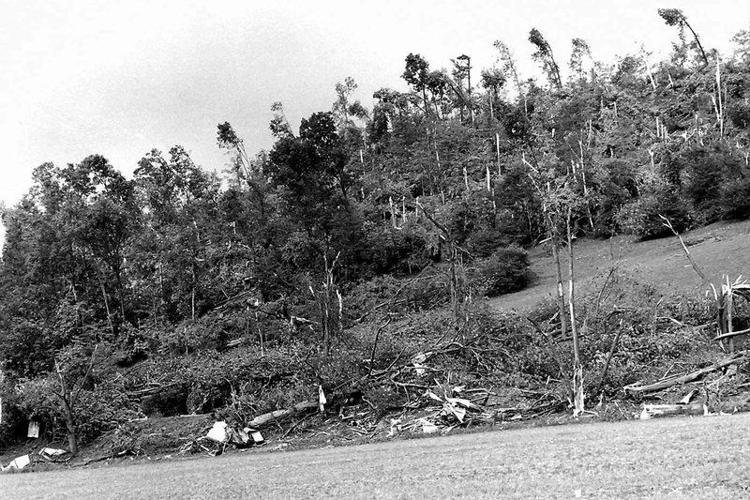
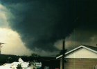
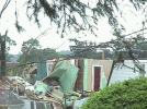
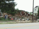
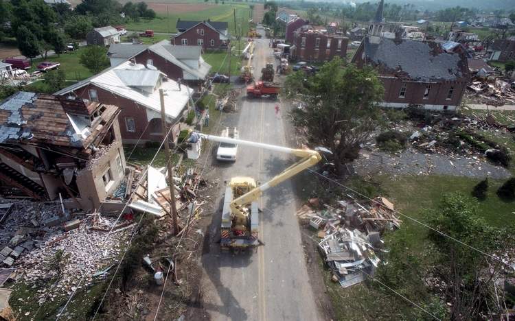
There are a handful of photos, some of which I don't think I've seen anywhere else. If I have time and can remember I'll take some screenshots later. Not as much as I was hoping when I bought it tbh, but nice to see some photos from some more poorly documented areas.
The
Wayback Machine has it, but it looks like it didn't archive the video. No idea what photos may've been in it.
No, I don't have any documentation for them and haven't really had time to do a deep dive and see if I can glean any more info.
Not entirely sure what you're asking. Is there something specific you're looking for?