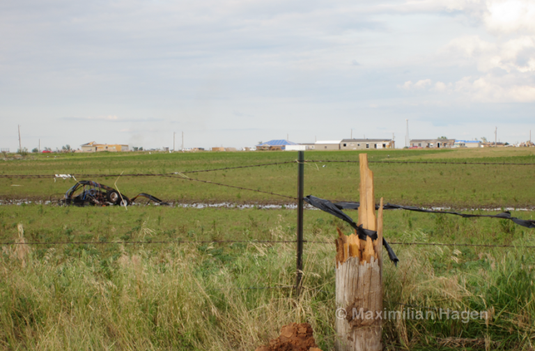
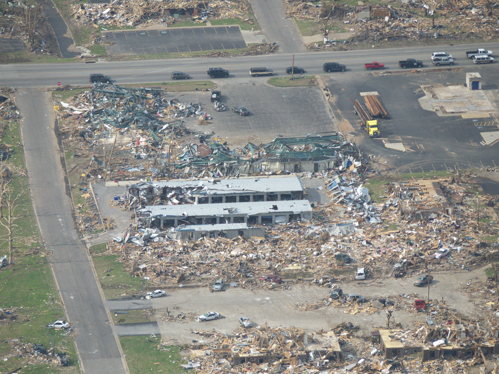
Does anybody have the long damage summary from NWS Springfield archived? It was extremely detailed, explaining all kinds of insane damage to office and institutional buildings in the St. John’s area, noting deformation of main structural support beams, and roof trusses that were “rolled up like paper.” It also described the deformation of a reinforced concrete floor and step structure that was observed in that area, and damage to driveways at homes. I can’t believe it’s no longer accessible. Surely some of you remember it too? It was a huge wall of text.