• Welcome to TalkWeather!
    We see you lurking around TalkWeather! Take the extra step and join us today to view attachments, see less ads and maybe even join the discussion.
    CLICK TO JOIN TALKWEATHER
Messages
2,159
Reaction score
2,716
Location
Missouri
This is kind of an internet white whale of mine, but back around 2009, I once stumbled upon a very close up YouTube video of an African tornado moving through a field, I want to say in Zimbabwe or Nigeria. It was in a Serengeti type setting and at first appears to be a strong dust devil, but it intensifies with multiple vortices whipping around inside it. You can hear someone saying “Wow, very very strong wind” in a thick African accent as it uproots a large tree.

I know it’s a total shot in the dark, but does this ring a bell to anyone?
Well, this has sent me down an interesting rabbit hole....
 

buckeye05

Member
Messages
3,121
Reaction score
4,581
Location
Colorado
I wonder if these West African tornadoes are related to outflow boundaries or mesoscale features due to the almost complete lack of vertical wind shear. Also apparently there have been multiple killer "tornadoes" in Chad.
Could have been genuine tornadoes the more I think about it. The videos posted above from Nigeria and Congo are clearly genuine tornadoes. The statement about that one Chad tornado impacting the village for 20 mins still leaves me skeptical about that particular one though.
 

buckeye05

Member
Messages
3,121
Reaction score
4,581
Location
Colorado
Impressive footage here. Dude is on the outer edge of a tornado's circulation and doesn't seem to realize it until his tree is uprooted right in front of him:


Amazing! Wish it wasn’t filmed vertically though. This was the Morgantown, PA EF2 of 2019 btw, which was the easternmost strong tornado to occur during the May 2019 outbreak sequence.
 
Messages
2,159
Reaction score
2,716
Location
Missouri
So, I knew based on the damage path + some first-hand accounts that the Niles-Wheatland tornado grew fairly large for a period of time as it was on its way out of Newton Falls. Tracked down a series of photos taken in that area and it turns out it looked pretty imposing:

selkirk-bush-07-evie-lemasters-nikki-weaver.jpg
Hopefully this won't ruin your article (if it does don't bother answering lol) but Grazulis referred to this as a 'maxi-tornado' in his book. Do you have any clue as to what he meant by that term? I don't know of any other tornadoes with that label from him.
 

TH2002

Member
Sustaining Member
Messages
3,116
Reaction score
4,677
Location
California, United States
Special Affiliations
  1. SKYWARN® Volunteer
Amazing! Wish it wasn’t filmed vertically though. This was the Morgantown, PA EF2 of 2019 btw, which was the easternmost strong tornado to occur during the May 2019 outbreak sequence.
Wow I finally found someone that still hates vertical video like me!

It's especially a shame when otherwise excellent footage is filmed vertically, and/or vertically-filmed videos are the only videos to be found of a specific tornado (example being Kaiyuan City 2019)
 

locomusic01

Member
Messages
1,350
Reaction score
3,758
Location
Pennsylvania
Hopefully this won't ruin your article (if it does don't bother answering lol) but Grazulis referred to this as a 'maxi-tornado' in his book. Do you have any clue as to what he meant by that term? I don't know of any other tornadoes with that label from him.
I dunno. I've seen some old-school mets and chasers use the term but I'm not sure what (if anything) it really means. For instance, it's used in this NOAA tech memo to describe the Piedmont, OK tornado of 4/30/78 (often credited as the first tornado caught on videotape vs. film).


That tornado was similarly slender but I don't recall it being particularly intense.


It is odd that he chose to use that term exclusively for Niles-Wheatland, though. I haven't asked him about it but Tom's on Twitter and sometimes responds to tweets and DMs.

Also I was mostly joking about ruining my article. I'm trying not to give too much away before I'm done, but I'm not saying not to talk about it lol.

Edit: Don Burgess also mentions "maxi-tornadoes" in this article, but he seems to be referring to especially large/violent tornadoes, which is what I'd always assumed it meant (to the extent that it has any specific meaning).

For "maxi-tornadoes," responsible for most tornado-related deaths in the United States, the Doppler radar is in its element, according to Burgess. "With a maxi-tornado we can actually see the funnel itself on Doppler radar." The evaluation team also noted the ability of Doppler radar to identify strong turbulence near thunderstorms, smallscale rotary motions in storms, and other hazards to aviation.

 
Last edited:

locomusic01

Member
Messages
1,350
Reaction score
3,758
Location
Pennsylvania
Wow I finally found someone that still hates vertical video like me!

It's especially a shame when otherwise excellent footage is filmed vertically, and/or vertically-filmed videos are the only videos to be found of a specific tornado (example being Kaiyuan City 2019)
At this point, I assume anyone who films vertically (unless it's a practical necessity) just wants to watch the world burn.
 

Marshal79344

Member
Messages
361
Reaction score
1,064
Location
Chicago, IL
It's been 63 years since a cyclic supercell dropped a massive tornado that devastated the city of Colfax, WI. Several homes were swept away, and trees sustained significant debarking.

Aerial shots of the stricken town. These images make it obvious that the tornado was of a multiple-vortex nature, with a rather unorganized and unclear intensity gradient.

19580604COLFAX4.jpg19580604COLFAXAERIAL.PNG
19580604COLFAX2.jpg

Ground photos I have on standby

19580604COLFAX.jpg
1622815067275.png
 

locomusic01

Member
Messages
1,350
Reaction score
3,758
Location
Pennsylvania
Okay, this one's so absurd that I had to share it. There was a woman who was in her car when she got sort of sideswiped by the Beaver Falls tornado. It picked her car up, blew the windows out and dropped it back down on all four wheels just down the street. She was sprayed with glass and debris and said she'd felt "squeezed" by the pressure, but was otherwise okay.

A few weeks later, she got a letter in the mail from a man who lived just outside of State College. It was her car title. It had somehow been sucked out of the glove compartment (which had broken open), carried 130 miles almost exactly due east and dumped in the guy's hayfield. I would almost wonder whether she was making it up if it weren't for the fact that she saved the letter and envelope.
 

buckeye05

Member
Messages
3,121
Reaction score
4,581
Location
Colorado
Okay, this one's so absurd that I had to share it. There was a woman who was in her car when she got sort of sideswiped by the Beaver Falls tornado. It picked her car up, blew the windows out and dropped it back down on all four wheels just down the street. She was sprayed with glass and debris and said she'd felt "squeezed" by the pressure, but was otherwise okay.

A few weeks later, she got a letter in the mail from a man who lived just outside of State College. It was her car title. It had somehow been sucked out of the glove compartment (which had broken open), carried 130 miles almost exactly due east and dumped in the guy's hayfield. I would almost wonder whether she was making it up if it weren't for the fact that she saved the letter and envelope.
Sounds like a scene from Twister or something lol
 

MNTornadoGuy

Member
Messages
1,615
Reaction score
2,569
Location
Apple Valley, MN
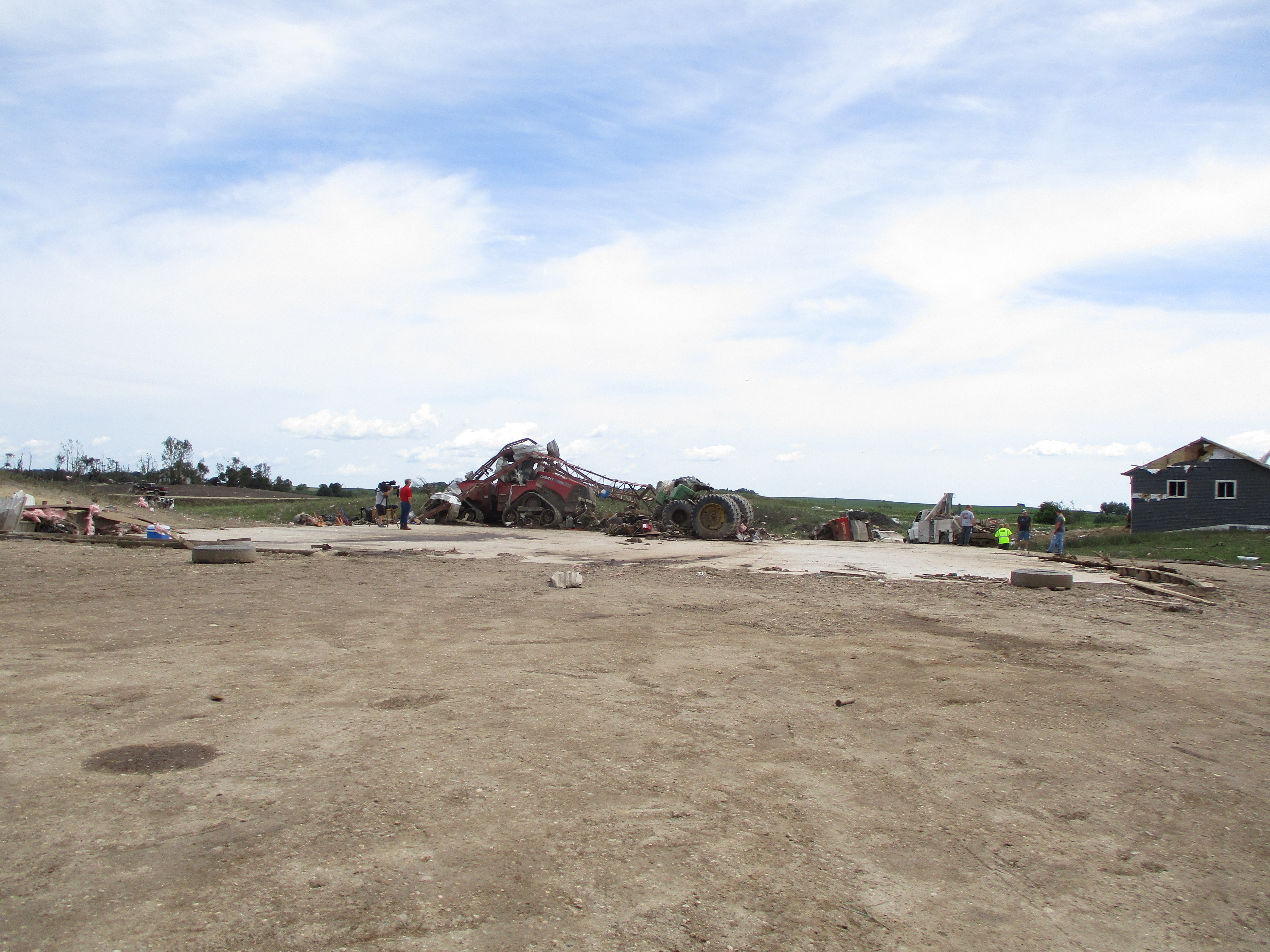
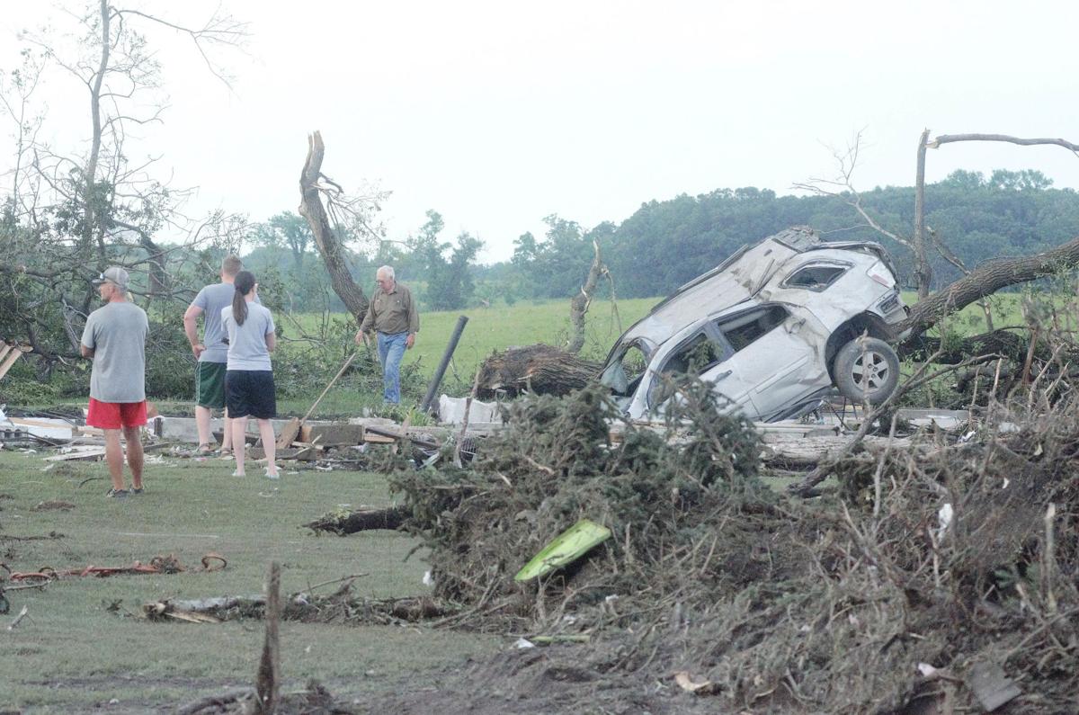
Ashby-Dalton was a pretty violent tornado. A house and well-built machine shed literally vanished with very little debris being left near the foundations and anchor bolts at both structures were bent at an almost 90-degree angle. The contextual damage was pretty impressive too, vehicles were thrown hundreds of yards and mangled, trees were debarked, heavy farm machinery was mangled, a metal door was wrapped around a tree, intense crop scouring occurred with some spots being completely cleaned of stubble, and grass scouring occurred too.

image0.png

071020.N.FF.Twisterfolo.01.jp

unknown.png

11498%20Co%20Hwy%2082%201.jpg


5f071226c750b.image.jpg

mn-ef4-damage-tree-NWSFGF.jpg


unknown.png

images
 

Marshal79344

Member
Messages
361
Reaction score
1,064
Location
Chicago, IL
Another interesting tornado event occurred on May 25th of this year, when a discrete supercell spawned at least three tornadoes in far western Quebec. What's most interesting is the long cycle time between the end of Tornado #2 and the beginning of Tornado #3.

20210525CANADA.PNG

The supercell responsible on satellite

CanadaSupercell.PNG
 

eric11

Member
Messages
309
Reaction score
711
Location
Shanghai,China
Special Affiliations
  1. SKYWARN® Volunteer
  2. ARRL Member
Man, 2021 has been a noteworthy tornado year for you guys to say the least. Makes me wonder how the rest of June, July and August will turn out, considering that seems to be peak season for violent tornadoes in China. Are you or any of your friends considering going out and chasing?
Sure. We may head to Northeastern parts of China and stay here for about 2-3 weeks, cooperate with those Cinese extreme weather experts out there, wish us all good luck.
My friend just spent three days in field this week, this is an intense outflow-dominat storm he chased in ShanDong Province on 6/2.
View attachment 1622942342668.jpg
 
Messages
2,159
Reaction score
2,716
Location
Missouri
I dunno. I've seen some old-school mets and chasers use the term but I'm not sure what (if anything) it really means. For instance, it's used in this NOAA tech memo to describe the Piedmont, OK tornado of 4/30/78 (often credited as the first tornado caught on videotape vs. film).


That tornado was similarly slender but I don't recall it being particularly intense.


It is odd that he chose to use that term exclusively for Niles-Wheatland, though. I haven't asked him about it but Tom's on Twitter and sometimes responds to tweets and DMs.

Also I was mostly joking about ruining my article. I'm trying not to give too much away before I'm done, but I'm not saying not to talk about it lol.

Edit: Don Burgess also mentions "maxi-tornadoes" in this article, but he seems to be referring to especially large/violent tornadoes, which is what I'd always assumed it meant (to the extent that it has any specific meaning).


I always thought it referred to a tornado that was as violent as possible, as in any well built structure in its path would be completely leveled and the like, a high-end E/F5 tornado; Niles-Wheatland definitely fits the bill in that regard as anything directly in the path of its core was more or less completely obliterated. Assuming this definition is correct Bakersfield Valley and Jarrell could be considered 'maxi-tornadoes' (at least I always have, as they were both definitely high-end F5s). Perhaps Grazulis will define this term in the updated books.
 

Marshal79344

Member
Messages
361
Reaction score
1,064
Location
Chicago, IL
There's one tornado that I've been digging into more lately. It was an EF3 Tornado that occurred near Iswepe, in South Africa's Mpumalanga Province on January 3rd, 2020. This tornado was very unusual in terms of what type of environment it was spawned in, its track, and how no other tornadoes were reported that day, despite this tornado being very strong. The tornado initially moved through open country before it entered a forest filled with thin pine trees. It absolutely devastated these forests along an intermittent but very intense swath. The swath of tree damage in some places was absolutely massive. Trees were snapped very close to the ground in multiple cases. A farm was hit but did not sustain the most intense damage along the track. This was one of the strongest tornadoes I've seen in the southern hemisphere, and unfortunately, it doesn't seem that it will get the recognition it deserves. What's most interesting about this event is how the tornado and its parent supercell were moving in seemingly opposite directions.

The parent supercell responsible for the tornado was first seen developing at around 15:00 UTC, moving in a northwards direction. The tornado, however, moved in the opposite direction (almost due south). The supercell's echo tops were at their strongest at around 16:30 UTC (which is pictured below) when the tornado was in progress. The supercell then appeared to weaken and decay below severe levels as it moved off to the northeast at around 18:30 UTC. Reanalysis data showed absolutely nothing that would support the existence of a tornado threat at all, which makes this event even more interesting. It's possible that a mesoscale accident could have been the culprit here, or the reanalysis data completely failed to pick up on something. Having a tornado and a parent supercell moving in opposite directions is very rare, and is typically seen in the highest of high-CAPE low-shear tornado events.

SouthAfricanSupercell.PNG

The tornado initially started out as a thin stovepipe, before it morphed into a large wedge. The tornado was later seen as a thinning, but very photogenic rope in the final stages of its lifespan.

The tornado early in its lifespan, before it entered the forest

1622981550055.png

The tornado when it was at maximum intensity; a mature wedge tornado.

1622981498459.png

The tornado in the middle of the rope-out process

1622981582511.png

The track of the tornado from remote sensing Sentinel data can be seen below. Notice how it has many curves in its track and seems to disappear and re-appear every now and then. The lack of a rigid path and the intermittent nature of it suggests that wind shear was likely not the main driving factor in the formation of this tornado, but rather instability.

20200103SOUTHAFRICA.PNG

Ground photos were the most impressive, they showed complete devastation of forested areas. An aerial shot, captured when a pilot flew over the affected area revealed an absolutely massive swath of complete forest destruction. However, it should be considered that these trees have thinner trunks, making them less resistant to tornadoes than their American counterparts.

The massive swath of total tree devastation from the flyover conducted the morning after the tornado

2020103SOUTHAFRICA.PNG

Ground photos of the tornado's wrath
20200103SOUTHAFRICA7.jpg20200103SOUTHAFRICA8.jpg
20200103SOUTHAFRICA4.jpg20200103SOUTHAFRICA3.jpg

In all, this event was definitely very interesting from a meteorological and damage point of view. The unique relationship between the tornado and its parent supercell is very interesting, something that is not common. The damage the tornado left behind was very strong and weird too, in terms of its intermittent nature.
 
Back
Top