
TornadoFan
Member

Follow along with the video below to see how to install our site as a web app on your home screen.
Note: This feature may not be available in some browsers.


Yeah, and if the warm front can make it up to I-20 or any further northward, it would have to destabilize things quickly and would have a lot of work to do. My current temp (just north of Birmingham) is only 61.7 with a dew point of 54.Indeed, none of the latest short term guidance is showing the boundary from the earlier mesolow making it anywhere near far enough north to put the I-20 corridor or north in line for any severe weather tonight. Obviously the whole situation still bears watching for those areas, but the threat appears to be lower than the NAM had indicated earlier. As for south Alabama, Georgia, and the Florida panhandle, those areas need to be on their guard tonight and overnight.
Yeah, and if the warm front can make it up to I-20 or any further northward, it would have to destabilize things quickly and would have a lot of work to do. My current temp (just north of Birmingham) is only 61.7 with a dew point of 54.
I'm not letting my guard down, though.

Surface destabilization/return flow just isn't happening like forecasted by the aggressive models. Lapse rates are still super steep though....hail likely being the biggest threat for I-20/59 and northward. Tornado threat depends on how far north the warm front makes it....which is still near the coast. Not optimistic for it getting too far north.

Very much hoping that this is a bust! PDS tornado watches freak me out! At nite too!! Right on the edge of this one....scary!!And just as I say that, a PDS TOR watch has been issued for Alabama with 90/80 tornado probabilities! Along and south of Tuscaloosa to a Birmingham to Anniston line (Jefferson County not in the watch) until 3 AM central
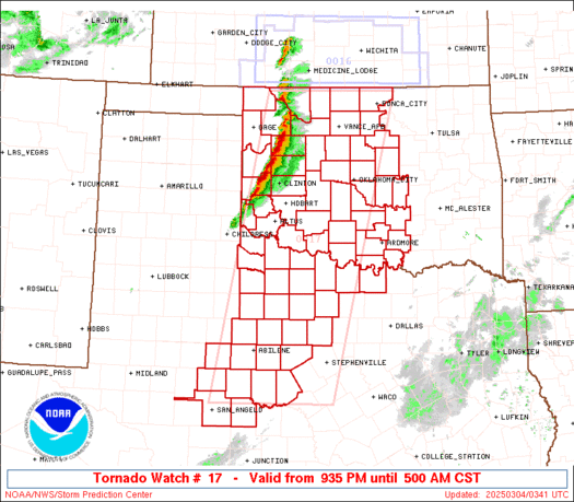
Praying they drew this wrong!!disco says 50 miles south of Columbus.PDS Tornado Watch for much of central and south Alabama, FL panhandle, and far SE Mississippi
Im shocked that they came that far north with the PDS watch interesting.