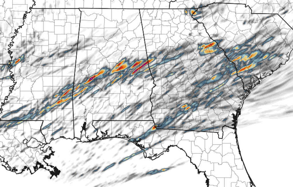
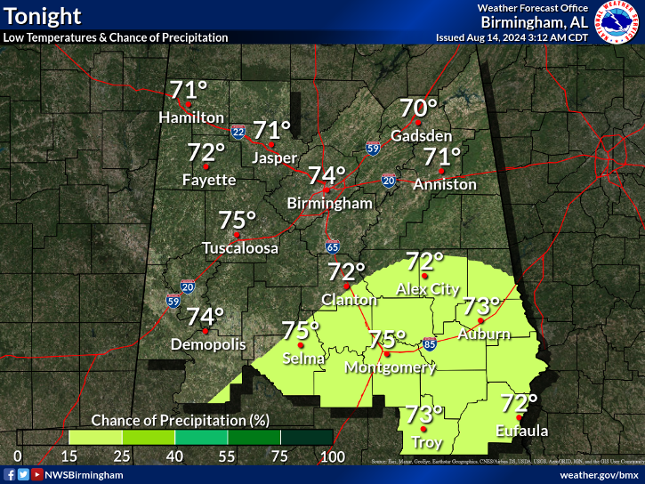
South Alabama now under a Moderate Risk.
...THERE IS AN ENHANCED RISK OF SEVERE THUNDERSTORMS TONIGHT ACROSS
PARTS OF SOUTHEASTERN LOUISIANA INTO SOUTHERN MISSISSIPPI...
...THERE IS A SLIGHT RISK OF SEVERE THUNDERSTORMS ACROSS SURROUNDING
AREAS OF THE WESTERN INTO CENTRAL GULF COAST STATES...
...THERE IS A MARGINAL RISK OF SEVERE THUNDERSTORMS SURROUNDING THE
SLIGHT RISK AREA OVER THE GULF STATES...
...THERE IS A MARGINAL RISK OF SEVERE THUNDERSTORMS NEAR SOUTHERN
CALIFORNIA COASTAL AREAS...
...SUMMARY...
Severe storms are expected to develop by this evening and spread
across the lower Mississippi Valley tonight through Saturday
morning, with a couple of tornadoes, large hail, and damaging winds
all possible. Strong thunderstorms with at least some severe-weather
potential are also possible near the southern California coast this
afternoon.
...20Z Outlook Update...
...Southern California coastal areas...
There still appears a window of opportunity for the development of a
low-topped supercell or two in the presence of low-level warm
advection, as a strong 850 mb speed maximum shifts south of the Los
Angeles Basin this afternoon. However, relatively warm mid/upper
level air appears to be generally suppressing deep convective
development where low-level hodographs are enlarged. In the wake of
the digging upper impulse, lower/mid tropospheric cooling may become
more supportive of weak boundary layer instability later this
afternoon and evening. But it may be that this will largely
coincide with veering/weakening of 850 mb flow, and shrinking
low-level hodographs with increasingly negligible severe weather
potential.
...Northwestern Gulf Coast and lower Mississippi Valley...
Convective development, associated with low/mid-level warm advection
on the leading edge of a developing southerly return flow, now
appears underway near lower to middle Texas coastal areas. This
still appears likely to gradually increase in coverage late this
afternoon through tonight, while developing northeastward through
the lower Mississippi Valley by 12Z Saturday. The risk for severe
hail may be the primary threat with initial development across parts
of upper Texas coastal areas into Louisiana and Mississippi.
However, the risk for potentially damaging wind gusts, and
tornadoes, probably will increase as activity grows upscale later
tonight, as this increasingly coincides with inland boundary layer
moistening and destabilization, across parts of southeastern
Louisiana into southern Mississippi. Latest model output seems to
suggest a greater likelihood that could occur closer to
Louisiana/Mississippi coastal areas than previously indicated.
..Kerr.. 01/20/2017


