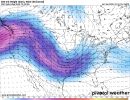
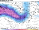
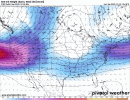
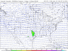
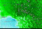
Concerning next weekend into next week from the SPC extended outlook:
Cooling mid-level temperatures and moistening of the airmass over TX/OK should support
increasing thunderstorm chances through the end of the week, with
thunderstorm potential extending into the ArkLaTex and lower MS
Valley next weekend.
Some severe potential is apparent as westerly flow aloft increases
amidst the returning moisture/instability. However, details such as
the degree of destabilization, timing/structure of the upper trough,
and the potential for organized storms remains highly uncertain. 15%
severe probabilities could be introduced in future outlook cycles
should confidence in organized severe potential increase.


