- Admin
- #41
- Messages
- 2,433
- Reaction score
- 2,270
- Location
- Meridianville, Al
- Special Affiliations
- SKYWARN® Volunteer
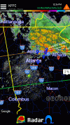
New Day 1 with an enhanced risk area added for North Alabama/South Tenn
Follow along with the video below to see how to install our site as a web app on your home screen.
Note: This feature may not be available in some browsers.

New Day 1 with an enhanced risk area added for North Alabama/South Tenn
Why do you say it’s deliberate?That's a very deliberate enhanced as small as that area is. Huntsville to Columbia, TN and East to Bridgeport and West to Corinth.
Just seems small. No other reason. Maybe deliberate wasn't the best phrasing.Why do you say it’s deliberate?

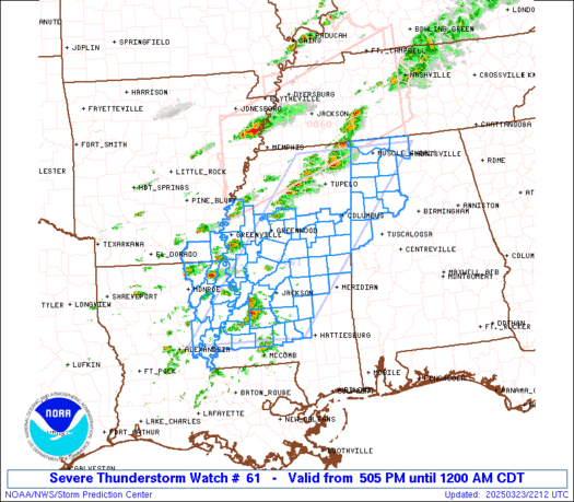
I'm right there with you in Florence. Will certainly be monitoring storms back to our SW in MS.Do we think this is going to get very wild? I'm right in the middle of the enhanced risk area...as usual.
It looks better and better every scan. Wonder if that storm to the south will end up choking off the northern one and taking over.If that Tupelo cluster can organize that might be the first storm to go.