
- Thread starter
- #161
Kory
Member
They’ve had gusts near hurricane force down there. Not surprising.
Follow along with the video below to see how to install our site as a web app on your home screen.
Note: This feature may not be available in some browsers.
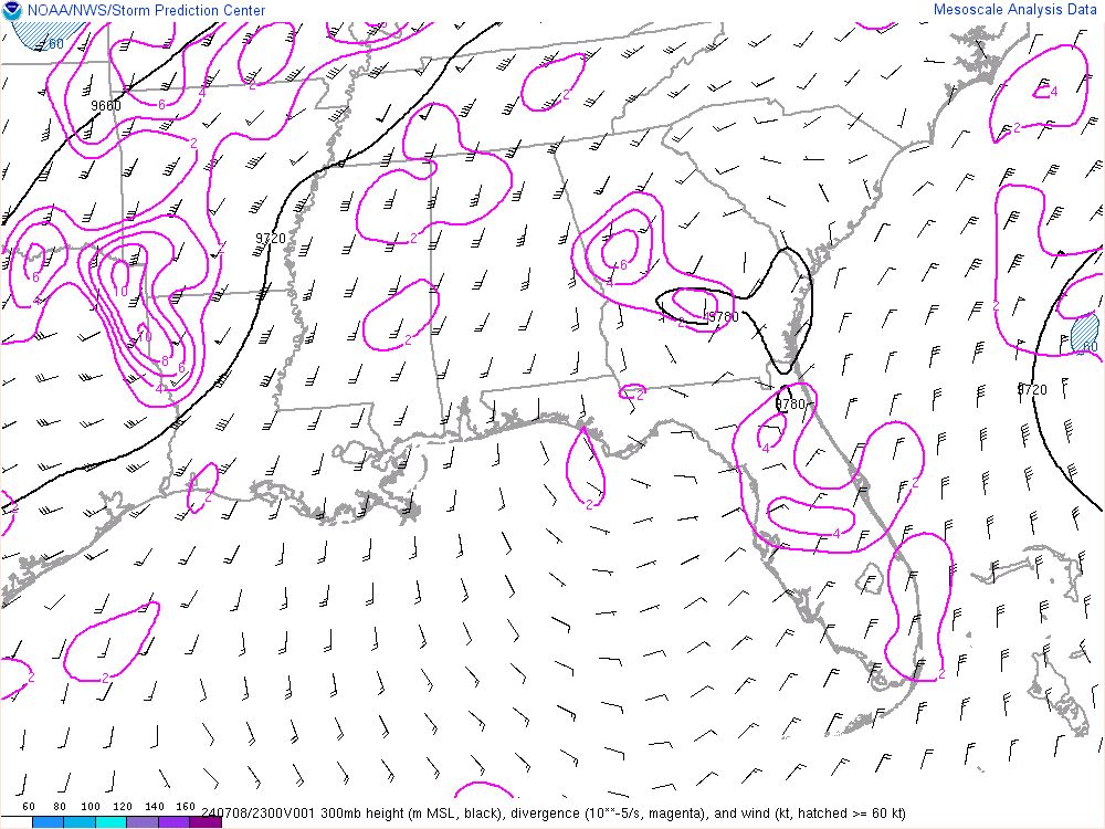
Dry air in the upper levels.What's up with the rain force field along the SE Louisiana coast this morning? The rain evaporates as it reaches the coastline below New Orleans. I assume that will erode later today?
Yep, you can see the fingerprint of some of the feeder bands that will begin to set up throughout the day. No one should be having a sigh of relief...just yet.Today's term of the day: atmospheric river. Or as I like to call it - the firehose. Mobile, you're up.

We offically have Hurricane Barry.
Today's term of the day: atmospheric river. Or as I like to call it - the firehose. Mobile, you're up.