• Welcome to TalkWeather!
    We see you lurking around TalkWeather! Take the extra step and join us today to view attachments, see less ads and maybe even join the discussion.
    CLICK TO JOIN TALKWEATHER

Severe WX February 16-17th, 2022 Severe Threat

Austin Dawg

Member
Sustaining Member
Messages
852
Reaction score
1,299
Location
Leander, Texas
Do you get a chance go to RadarScope and check out the winds in the storms in South Mississippi. Pretty much every storm in South Mississippi has wins extraordinarily high
 

Tennie

Member
Messages
935
Reaction score
761
Location
Tennessee
Brett Adair reports a rapidly-spinning lowering on the tornado-warned storm. Unfortunately, while his audio stream is coming through, the same cannot be said for the visual part. Nonetheless, here's a link:


WesL

"Bill, I'm talkin' imminent rueage"
Staff member
Administrator
Moderator
Sustaining Member
Messages
3,344
Reaction score
2,614
Location
Fayetteville, AR
Special Affiliations
  1. SKYWARN® Volunteer
We apologize for the server bumps a bit ago. Thanks to the generosity of our sustaining members and advertisers we have bumped up our server configuration up to be able to handle the current and future traffic during this event.

Stay safe everyone!


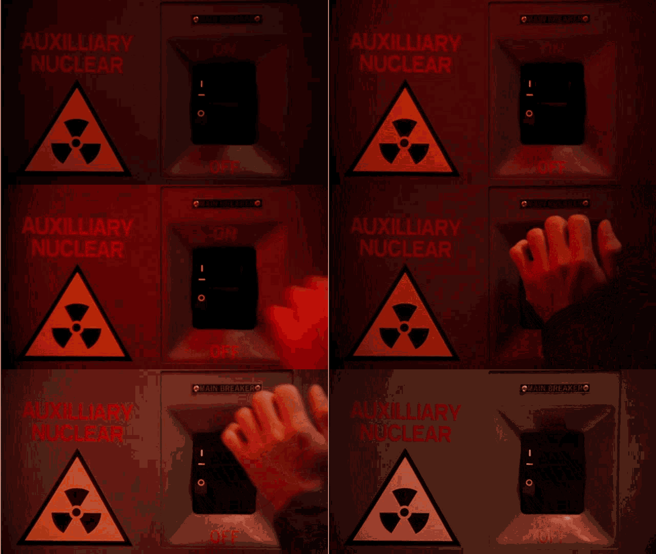
nuclear-switch-christmas-vacation.gif
 

Equus

Member
Messages
3,290
Reaction score
3,368
Location
Jasper, AL
Special Affiliations
  1. SKYWARN® Volunteer
Mode looking mainly linear with embedded rotating segments for the moment and confluence band type convection out ahead that's really not taking off in echo top height yet; dews are finally reaching 65 in parts of west-central AL but may not get advection fast enough for isolated supercells north of I-22. Still definitely a day with spin-ups in linear convection with the super impressive dynamics but may be a somewhat spatially limited supercell risk to the north. Got the feeling it stays going further east in central and south-central AL than forecast though, things usually linger longer than expected in these parts and it won't be too late in the evening when it gets there
 

Equus

Member
Messages
3,290
Reaction score
3,368
Location
Jasper, AL
Special Affiliations
  1. SKYWARN® Volunteer
60/40, probably spin ups in the north half and supercell risk in the south half if those can get goin'
 

Austin Dawg

Member
Sustaining Member
Messages
852
Reaction score
1,299
Location
Leander, Texas
What will the atmosphere be like behind this line of storms? They could be thinking there's something gonna pop up after this bunch goes through.
 

Equus

Member
Messages
3,290
Reaction score
3,368
Location
Jasper, AL
Special Affiliations
  1. SKYWARN® Volunteer
Surface obs behind the main cluster still look very juicy so yeah we may see more action behind, but also surface winds are really veering back to the SSW which may lend itself to much more linear structures - feeling like a less supercellular day for most people honestly unless something gets going fast in the classic Meridian corridor
 
Messages
139
Reaction score
182
Location
Trussville
To me, Jackson misssissippi to Columbus Mississippi to Jasper alabama has the best threat. Models show a lot of rain for north miss and Tennessee so I see that being a huge limiting factor in that area
Another example of them not looking at hi res models for Tennessee and northwest and central ms. Looked like heavy rain and then it’s done but they had enhanced. Always wonder what they think when they do these risk, Pre caution?
 

Jacob

Member
Messages
1,287
Reaction score
824
Location
Roy, UT
Storm NE of Philadelphia, MS is spinning like a top. Little surprised it doesn't have a warning with it yet.

...err, nvm, tornado warning out for it now.
 
Logo 468x120
Back
Top