tennessee storm chaser
Member
Looks more towards a 0z solution than it did at the 12 z gfs run of today . Imo maybe slightly less phasingWhat'd you think of the 18z GFS run @andyhb?
Did you also say this on Twitter?All of them.
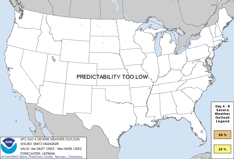
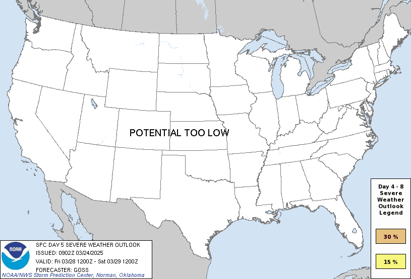
The trough by Thursday is lifting further north and getting sheared against the southeast ridge, which decreases the low-level response, and the phasing with the sub-tropical jet is less complete on both days. The LLJ is not as strong as was suggested a couple of days ago due to the weaker surface low. In addition, with the trough lifting further north, there is less cold air aloft overlapping the warm sector, decreasing instability.
My tweet about the coming couple of weeks wasn't just about severe weather.Did you also say this on Twitter?
*looks*
Lol
FairMy tweet about the coming couple of weeks wasn't just about severe weather.
I was talking about that event earlier, could lead to a eventual cold pool for Thursday in Mississippi and possibly alabamaDon't sleep on Tuesday. Could be a few strong to severe storms across Mississippi. Wouldn't be surprised if SPC went with a Marginal Risk by tomorrow.
Deep systems like this are almost always accompanied by strong warm air advection, which can often destabilize the warm sector in a hurry, even through cloud cover. Dixie in particular often undergoes extremely fast airmass recovery due to its proximity with the gulf. 4/27 had a morning MCS, as an example, that actually produced several sigtors itself. There are a number of events that have been like this especially in dixie.Something else that may be of note, a MCS seems to track through Mississippi and Alabama through the night early morning on Wednesday and then Thursday morning ahead of the risk of severe on Thursday through that area. May not have enough time to destabilize and may not time up well.
Could that create a substantial cold pool aloft? @xJownage
I think Spann has said something similar.In fact, a morning MCS' is often a precursor to higher end events, as they often leave outflow boundaries that serve as focuses for both enhanced low level convergence (for initiation) and locally enhanced SRH.
If I'm not mistaken, the last tornado outbreak in Alabama had a morning MCS in Mississippi.Deep systems like this are almost always accompanied by strong warm air advection, which can often destabilize the warm sector in a hurry, even through cloud cover. Dixie in particular often undergoes extremely fast airmass recovery due to its proximity with the gulf. 4/27 had a morning MCS, as an example, that actually produced several sigtors itself. There are a number of events that have been like this especially in dixie.
In fact, a morning MCS' is often a precursor to higher end events, as they often leave outflow boundaries that serve as focuses for both enhanced low level convergence (for initiation) and locally enhanced SRH.
Same…. Except for the chasing part lolShould be in Alabama range on the next run.....thats what I'm most interested in at the moment since it would logistically be better for me to chase.
buzz kill... o well as a chaser plenty more chances guessThe system is looking a bit more sheared now on the 00z GFS, and the Canadian went much flatter. The modeled ridge is offering a lot of resistance, more than we have seen recently, and it is trending stronger. Most, if not all of our severe threats have uptrended since November, but I have to say this one is not looking that way at the present time.
Wait… the model will flip flop again lolbuzz kill... o well as a chaser plenty more chances guess