
- Staff
- #61
I would like to see what LA soundings were earlier!!
Follow along with the video below to see how to install our site as a web app on your home screen.
Note: This feature may not be available in some browsers.
Judging by maps, the massive Akers tornado is definitely separate from the also large New Orleans tornado from earlier, so that means we have had at least two large and potentially at least strong tornadoes today already. WOW.

Sorry for thread spam but you folks need to see this
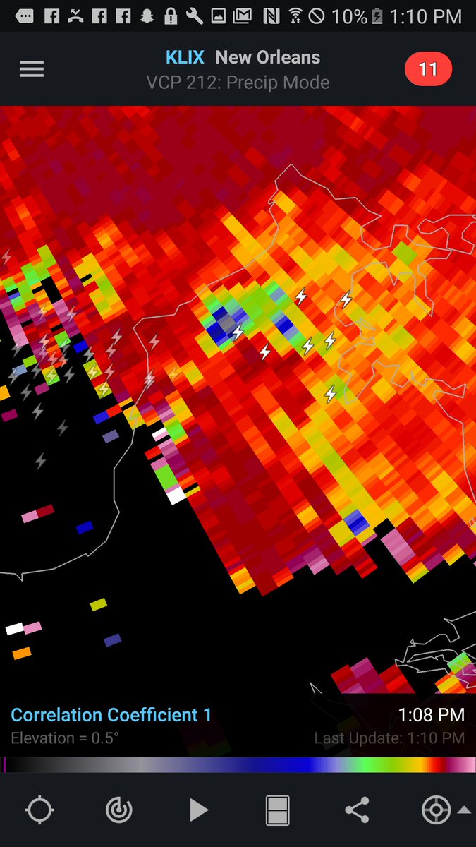
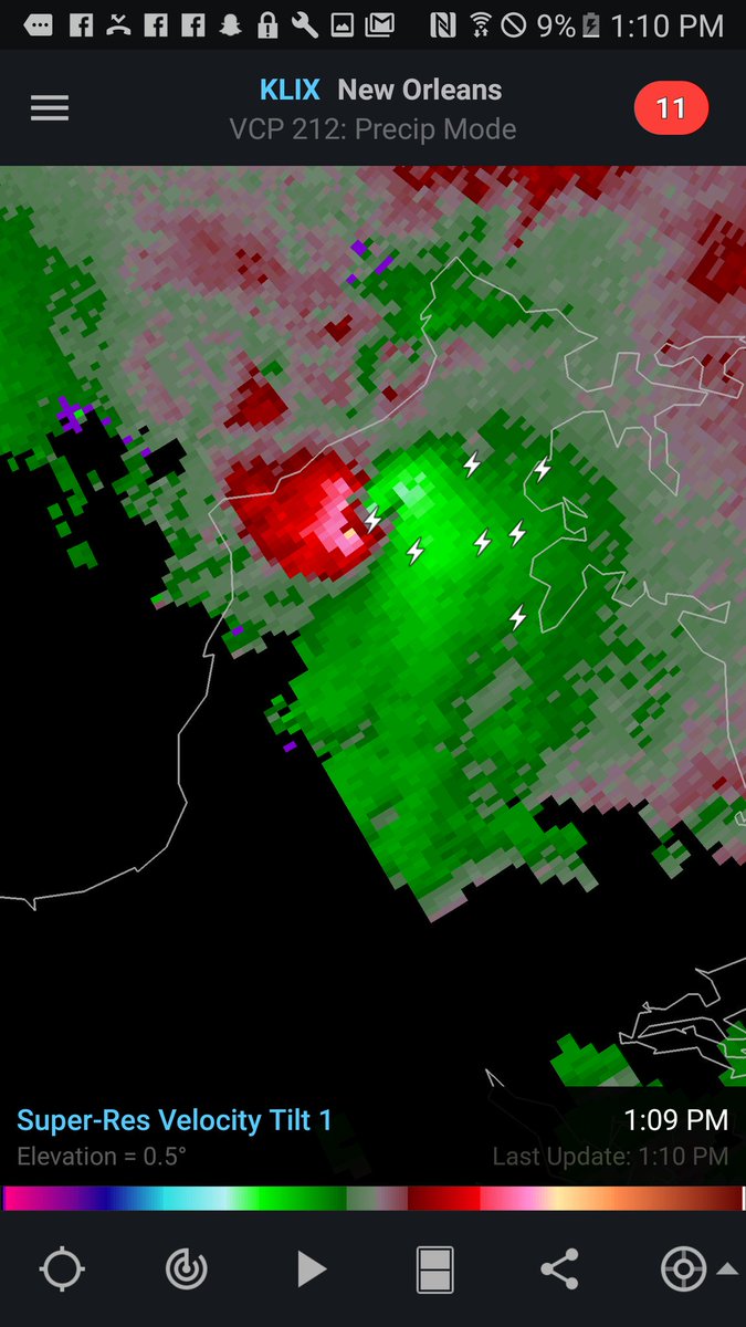
Very odd situation there. All of that radar imagery is highly suggestive that a strong tornado crossed the Biloxi State Wildlife Management Area. However, there was no tornado warning in effect, as the storm was expected to remain over water. Instead it was covered by special marine warnings for tornadic waterspouts.
That leaves a bit of a dilemma for the NWS in New Orleans. For climatological accuracy, it should be surveyed and rated. But how to survey an area with no roads? How to calculate the length of a path that spent most of its life over water, leaving no trace? Will they even bother to expend resources surveying it with all the tornadoes that DID do damage in populated areas?
* Probably the only time you will see an obvious debris ball that wasn't tornado warned, without it being a major failure/disaster.
The New Orleans storm hit relatively commercial and low income residential areas before shifting into the NASA industrial region in Michoud and then out to the marshes. Could've been a lot worse, but this was highly unusual for South Louisiana....Sorry guys I may of missed it in the post above.... how close was this to bourbon??
Nevermind, I see now it was east of that area. My goodness still a tragic situation. Prayers going up!
Mine has been workingAnybody use radarscope? Mine has been down the last 3 hours...even did the update on my iPad and it's still not working.