
wx_guy
Member
- Messages
- 1,267
- Reaction score
- 4,550
- Location
- United States
- HAM Callsign
- KO4ZGH
- Special Affiliations
- SKYWARN® Volunteer
- ARRL Member
1 AM CDT advisory out. Went with 105 mph and 972 mb
Follow along with the video below to see how to install our site as a web app on your home screen.
Note: This feature may not be available in some browsers.

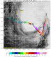
Uh...at this point, 18 hours and it'll be onshore, so it may not have time to weaken much really.964 dropsonde. Eye is increasingly clearing out, but it probably has 12 hours max before it really gets ripped apart.

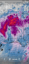
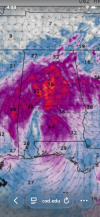
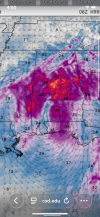
Source? I see some promising signs from Recon, but I see 110 still on NHC website.Hurricane is category 3 now
James spann said in his livestream this morning for his usual weathee briefing.Source? I see some promising signs from Recon, but I see 110 still on NHC website.
On satellite, where is the wind shear at? Has the storm hit that apart yet?Latest Vortex Data Message
326
URNT12 KNHC 091123
VORTEX DATA MESSAGE AL092026
A. 09/10:58:30Z
B. 26.76 deg N 087.76 deg W
C. 700 mb 2770 m
D. 959 mb
E. 125 deg 9 kt
F. OPEN SE
G. C20
H. NA
I. NA
J. 207 deg 102 kt
K. 124 deg 14 nm 10:54:30Z
L. NA
M. NA
N. 027 deg 92 kt
O. 301 deg 9 nm 11:01:00Z
P. 15 C / 3042 m
Q. 18 C / 3042 m
R. 2 C / NA
S. 12345 / 07
T. 0.02 / 2 nm
U. AF309 1209A ISAIAS OB 18
MAX FL WIND 102 KT 124 / 14 NM 10:54:30Z
;
Should be enough for Cat 3
Oh, there's been quite a bit of wind shear its entire life and it's ever-increasing the further north it moves. It's done pretty well for itself and defied some odds I suppose. The shear will increase more today, though, but it's becoming a super thin line between "weakening before landfall" and "oops, the shear didn't stop it fast enough, it made landfall already", the National Hurricane Center even alludes to this in the 5 AM EDT advisory. So it may well be a photo finish to see if this storm weakens substantially or not. I still think 1995 Opal is a great comparison to this one, and Opal cause tremendous damage in the Florida Panhandle.On satellite, where is the wind shear at? Has the storm hit that apart yet?
Opal also was sub-920mb and on the verge of being a cat 5 before it lost its punch in the last 12 hours.Oh, there's been quite a bit of wind shear its entire life and it's ever-increasing the further north it moves. It's done pretty well for itself and defied some odds I suppose. The shear will increase more today, though, but it's becoming a super thin line between "weakening before landfall" and "oops, the shear didn't stop it fast enough, it made landfall already", the National Hurricane Center even alludes to this in the 5 AM EDT advisory. So it may well be a photo finish to see if this storm weakens substantially or not. I still think 1995 Opal is a great comparison to this one, and Opal cause tremendous damage in the Florida Panhandle.