
Haha yeah.C'mon... as Spann knows the best part of a snow day bust is the hilarious comments that follow...
View attachment 23341
Navigation
Install the app
How to install the app on iOS
Follow along with the video below to see how to install our site as a web app on your home screen.
Note: This feature may not be available in some browsers.
More options
-
Welcome to TalkWeather! We see you lurking around TalkWeather! Take the extra step and join us today to view attachments, see less ads and maybe even join the discussion. CLICK TO JOIN TALKWEATHER
You are using an out of date browser. It may not display this or other websites correctly.
You should upgrade or use an alternative browser.
You should upgrade or use an alternative browser.
Winter Weather 2023-2024
- Thread starter Taylor Campbell
- Start date
Back in the day, a lot of us used Oklahoma Mesonet's Weatherscope application for tracking storms. Obviously since it's last version came out in 2014, it's not the most up-to-date tool for severe weather. But it's still kicking - you can still download the PC version and it still works. I always found it one of the most useful tools for tracking winter weather, because you can plot the 32 degree dewpoint, air temp, and wet bulb onto the map to get a general idea of where the rain/freezing rain/sleet lines are. Winds, temps, all the nexrad radars - still a very handy little app and everything still seems to work. I'll probably be using it to watch these upcoming systems. I feel certain there are a lot of more modern tools out there now, but this is still awesome and still free.
https://weather.ok.gov/index.php/weather/weatherscope

https://weather.ok.gov/index.php/weather/weatherscope
Yeah. My dad will probably still have to go to work. I'm more concerned about the side roads and usual places that freeze over first than the main roads. My dad works at True Temper in Amory.We’re off work and school on Monday (holiday) so I’m content to stay home cuddled under a blanket, sip on hot chocolate, read books, and watch movies.
My husband, unfortunately, has to make sure certain buildings stay above a certain temperature set-point because if they drop below a certain temp, very, very expensive tax-funded equipment could be damaged. I’m worried more about him driving in on Tuesday morning though and maybe Wednesday.
Mine too!I’m praying we just get snow. Our home is 100% electric.
Gail
Member
We both work at Columbus AFB.Yeah. My dad will probably still have to go to work. I'm more concerned about the side roads and usual places that freeze over first than the main roads. My dad works at True Temper in Amory.
18z GFS still wanting some freezing ice, and also some sleet.
I'll share the ice with you @Clancy lol
I'll share the ice with you @Clancy lol
MikeP
Member
Not a bad idea at all....We should have an overview of what determines rain/zr/snow lines and some tools for watching it lined up for all the newbies that will pile in here in the next bit.
It has already started. It's not fun when you get 3 hours of sleep.When will the snow hit my house?
Will I be able to drive Monday?
Y'all said I would get 2 inches of snow in my backyard, but I saw nothing! Y'all are wrong every single time!
Should I get milk and bread?
It didn't get as cold as y'all said it would!
These questions and many more goofy ones will be asked during the forseeable future.
Yeah. I figured it had. I can definitely understand that.It has already started. It's not fun when you get 3 hours of sleep.
OK, I'm going to try to cover some very basics of winter weather so y'all can just point folks to this or copy paste when you get questions over the next couple weeks. Most of you will already know all of this, but the board always gets an influx of new folks when there's winter weather where it isn't normally.
Here's the sources for these questions and answers:
https://www.weather.gov/safety/cold-outreach
 www.nssl.noaa.gov
 www.nssl.noaa.gov
- How is a major winter storm monitored and forecast?
- Meteorologists use a network of observing systems such as satellites, Doppler radars, and automated surface observing systems to monitor current weather conditions. State-of-the-art numerical computer models then predict future conditions, which are analyzed by meteorologists to create forecasts.
- What do winter weather Watches, Warnings, and Advisories mean?
- A Winter Storm Watch indicates the possibility of severe winter conditions, but the specifics are still uncertain. A Winter Storm Warning is issued for significant winter weather events like heavy snow or ice. Winter Weather Advisories are for less severe conditions that may cause significant inconveniences. A Blizzard Warning is issued when snow and strong winds are expected to create blinding snow and life-threatening wind chill.
- Why is predicting the exact amount of snowfall challenging?
- Predicting snowfall is difficult because heavy snow often falls in small bands that are hard to discern in larger resolution models. Also, slight temperature differences can change rain to snow, complicating forecasts.
- How do meteorologists determine if an approaching storm will bring heavy snowfall?
- Meteorologists at the National Weather Service and other agencies monitor weather data for developing heavy snow and freezing precipitation. This information helps them predict whether an area will be impacted by heavy snow or other winter weather.
- What factors influence winter weather forecasting?
- Forecasting winter weather involves understanding regional climatology, the types of winter storms, atmospheric conditions, and local geography. For instance, Nor'easters on the East Coast, lake-effect snow in the Midwest, and cold air penetration in the Southeast all have unique forecasting challenges.
- How do variations in snow or ice totals occur?
- Snow or ice totals can vary significantly over short distances due to factors like heavy snow bands forming in specific locations, while nearby areas receive much less snow.
- What are common misconceptions about winter weather forecasting?
- One misconception is that meteorologists can predict exact snowfall amounts for specific locations. In reality, predictions are usually within a 1-to-2-inch range. Forecasts shouldn't change several times per day; changes are typically based on new model data every 6 hours. Temperature variations can greatly affect the type of precipitation, such as snow, sleet, or freezing rain.
Here's the sources for these questions and answers:
https://www.weather.gov/safety/cold-outreach
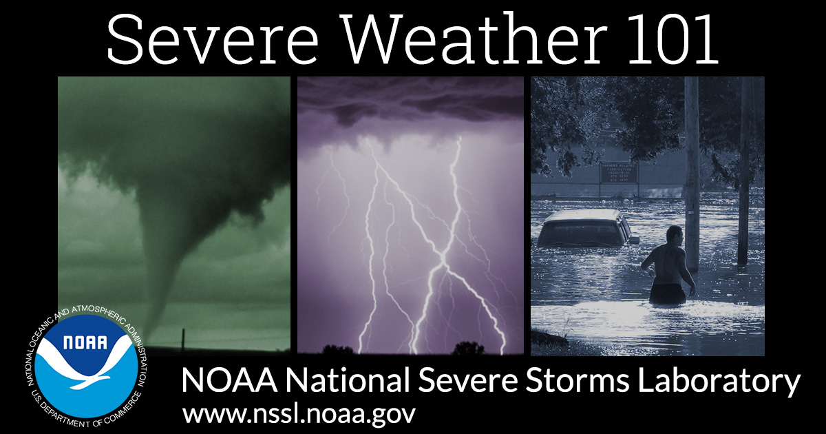
Winter Weather Forecasting
Information about severe thunderstorm forecasting, models and methodology, from the NOAA National Severe Storms Laboratory.
Five Things to Know about Winter Weather Forecasts
More basics:
Understanding where the rain, freezing rain, and snow lines will be during a winter weather event is all about temperature and its interaction with moisture in the air.
So, the lines where precipitation changes from rain to freezing rain to snow depend on the temperatures of these different layers of the atmosphere. Meteorologists use weather balloons, satellites, and models to figure out these temperatures and predict where and when the precipitation types will change.
Understanding where the rain, freezing rain, and snow lines will be during a winter weather event is all about temperature and its interaction with moisture in the air.
- Air Temperature: This is the temperature you see on a thermometer. If the air temperature is above freezing (32°F or 0°C), rain is more likely. If it's below freezing, snow is more likely.
- Dew Point: The dew point is the temperature at which air needs to cool down to become fully saturated with moisture. If the dew point is below freezing, it's more likely that precipitation will be snow or ice.
- Wet Bulb Temperature: This is a bit more complex. It's the lowest temperature that can be reached by evaporating water into the air. When water evaporates, it cools down the air, which is why we feel cooler when we're wet. During winter weather, the wet bulb temperature is crucial because it considers both air temperature and moisture. If the wet bulb temperature is at or below freezing, the precipitation will likely be snow or ice. If it's above freezing, rain is more likely.
So, the lines where precipitation changes from rain to freezing rain to snow depend on the temperatures of these different layers of the atmosphere. Meteorologists use weather balloons, satellites, and models to figure out these temperatures and predict where and when the precipitation types will change.
What's the "540 Line"?
The "540 line" is an important concept in winter weather forecasting, particularly when predicting the type of precipitation that will fall, such as rain, sleet, or snow. This line is not a physical line in the atmosphere but rather a theoretical one used in weather models. It's determined by the "thickness" between the 1000 and 500 millibar pressure levels in the atmosphere, which essentially measures the vertical distance between these two levels.
Thickness is primarily a function of the average temperature of the air between these levels, along with the moisture content of the air. In simpler terms, the 540 line represents a thickness of 5400 meters between these pressure levels. When this thickness is less than 5400 meters, it typically indicates that the air is cold enough for precipitation to fall as snow. This is because cold air is denser and occupies less space, leading to a smaller distance or thickness between the two pressure levels.
However, it's essential to note that the 540 line is a general guideline and not an absolute rule. Sometimes, there are layers of warm air beneath the colder layers that can change the type of precipitation observed. For example, snow can melt into rain in these warmer layers or, if a layer near the ground is below freezing, rain can freeze upon contact with the surface, creating freezing rain or sleet.
It's also crucial to consider other factors like elevation, the presence of warm or cold air biases in thickness, and temperatures in the planetary boundary layer (PBL). These factors can influence the type of precipitation regardless of the 540 line. For instance, in high elevation areas, snow is common even if the thickness is greater than 5400 meters.
I tried to keep those at an easy entry level. Y'all let me know if I oversimplified too much, and please add more winter forecasting basics or tools as you think of them. Again, I know the majority of members here are well aware of all of these, and I promise y'all aren't the target audience of these posts. ")
One thing that is very important too is to be aware of is that the forecast models don't handle or see shallow cold air very well because that is what we're dealing with with the Sunday thru Tuesday system. Having said that, I would anticipate temps to be colder than forecasted as well as more snow potential especially areas north of Jackson, MS.
Remember, there are new criteria for Winter Storm Warnings with no time restrictions. Why is half of a CWA split up? Who knows. https://noaa.maps.arcgis.com/apps/instant/basic/index.html?appid=e4d92ef4da394c5c89979605689d9949
Thanksgivingbrown
Member
Can we get a winter weather thread for the upcoming threat?

Winter Weather/Extreme Cold Threat 1/13-1/17
Well, here we go. First real SE snow threat.
warneagle
Member
The metal plate in my ankle agrees with youJust keep that ice stuff away lol. Snow is good ice is bad
Austin Dawg
Member
Mom works at Walmart in Amory and has the same issue going in at 4 am. She is in a spot where the temperature can wiggle you, and you get nothing, or 6 inches of snow or an ice storm.Yeah. My dad will probably still have to go to work. I'm more concerned about the side roads and usual places that freeze over first than the main roads. My dad works at True Temper in Amory.
akt1985
Member
What is the Thursday/Friday system looking like for the Tennessee Valley?