- Moderator
- #1
Climate and extended global models show a major southeast snowstorm along the I-20 corridor December 1st, 2023.
Follow along with the video below to see how to install our site as a web app on your home screen.
Note: This feature may not be available in some browsers.
Just curious, where do you see that?Climate and extended global models show a major southeast snowstorm along the I-20 corridor December 1st, 2023.
Did you create this thread just so you could say this? LolClimate and extended global models show a major southeast snowstorm along the I-20 corridor December 1st, 2023.
You're not alone. Gonna be 106 here today and tomorrowJust gonna live vicariously in this thread as the heat dome settles back over us in the Central US

Is this still showing up around this time frame?Climate and extended global models show a major southeast snowstorm along the I-20 corridor December 1st, 2023.
Crap!Oh yeah!


Gotta wonder if this will spark severe weather ahead of the surge. Temps running in the low 70s immediately ahead of the cold surge. 89 Huntsville tornado had temps go from 70s to snow and 30s the next day.
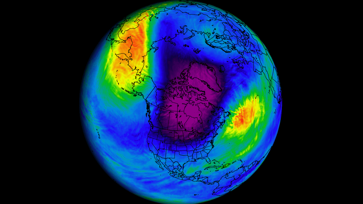
An early Polar Vortex Disruption Event is coming, with a strong Cold Weather pattern change across Canada and the United States
A Polar Vortex disruption event is developing and will bring a strong Cold air outbreak across Canada and the United Stateswww.severe-weather.eu
This is an interesting article about the potential for a polar vortex disruption.
Well I almost verified my "yes" answer this past weekend, but not quite here. Upper low pivoted right over northern Utah, and the faintest bit of warm air wrapped into the center of it so it was 2-3 degrees warmer in my area/Ogden than it was further south in the SLC area and Provo area. Most of the valleys down there picked up 1-4", we were left with 35 degrees and steady rain here, with just a few snow showers on the backside.
Decent chance of verifying my yes answer this weekend though.
