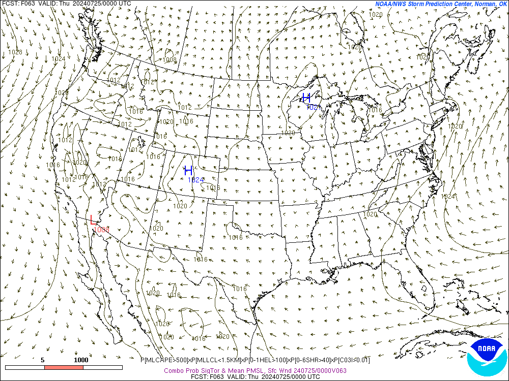
It's West of most us, but very interesting AFD from KLZK on the very storm incoming storm system.
Area Forecast Discussion
National Weather Service Little Rock AR
250 PM CST Thu Mar 7 2019
.Short Term...Tonight thru Saturday...
All eyes are on Saturday right now, with the incoming system that is
expected to possibly result in severe weather.
Not a whole lot has changed with the dynamics of the system over the
last several model runs. A strong upper level system is continuing
to approach the area and will acquire a negative tilt on Saturday.
The dynamics and wind shear have been highly suggestive of a
potential tornado outbreak, but all along the limiting factor has
been whether or not there would be enough instability.
Prior to today, the GFS/ECMWF/Canadian models were keeping
instability on the low side. The notable exception was yesterday`s
12Z run of the NAM, which started to draw a lot of attention with
CAPE values over 1500 j/kg across much of the area.
Over the last 24 hours all models are showing two trends. First, the
timing of the system appears to be accelerating across the board. It
appears that convection will start in western AR in the morning,
reach central AR by midday, and push into eastern AR by the late
afternoon. Secondly, the models are trending up with expected
instability levels. The 12Z NAM is continuing to lead the pack with
CAPE values as high as 1500-2000 j/kg over central AR, while the
GFS/ECMWF clock in around 850-1250, and the Canadian lags at 750-
1050.
This upward trend is concerning considering all of the dynamic
energy with this system. At the moment there are three question
that are on my mind.
The first question is...how far north with the warm front advance?
The front will be advancing northward across the area which should
bring plenty of warm, moist, and unstable air into the region, but
the ECMWF/Canadian models are lagging quite a bit with this front,
and barely get it north of central AR before the following cold
front sweeps thru. The NAM/GFS favor the front getting all the way
into northern AR, but I cannot help but remember a recent system
that had a problems getting a warm front to advance far enough to
the north for severe weather. Much of the state remained in the cold
sector and didn`t experience much of anything. Will this system be
different? I am fairly confident the warm front will make it north
of central AR, but do have some concerns about it making it all
the way north of the AR border.
My second question is...how will the timing of this system evolve?
If the system continues to accelerate, the risk may be lower across
the western portions of the area. For the moment I will stick with
the median timing provided by the models, but this will require
close monitoring.
The last question is, will there be any significant upper level
support? There appears to be a split in the southern stream of the jet,
and I am not particularly confident in any of the model solutions at the moment.
My gut feeling is that support will increase markedly as the storm system moves into the eastern part oft he area.
Putting it all together, with the timing, instability, wind shear,
and (probably) more favorable dynamics toward the east...I think
that the system will likely begin with a QLCS across western AR in
the morning that will intensify as it moves eastward. Some
supercells may develop ahead of the line as it moves across the
state. I think areas near the warm front will be a concern for
possible tornadoes, albeit with less CAPE. And storms across the
eastern portions of the state (especially the southeast) will be in
a more favorable region for the development of rotating storms.
&&
.Extended Term...Saturday Night thru Wednesday Night...
Long term begins as the storm system in the short term is exiting
to the east of Arkansas with dry weather returning to the
forecast on Sunday. Looking to the west coast a 500mb trough will
be digging west of California with models generally in agreement
that a closed low will form over the Baja peninsula. From there
the models tend to diverge a bit...however the big picture remains
the same. Models generally agree that a surface low pressure will
form and track to the northwest of the state...however the exact
timing and location of that surface low can vary by quite a bit.
The aforementioned closed upper low will become negatively tilted
and become vertically stacked with the upper low. Synoptically the
setup would suggest severe weather...however there are some
ingredients lacking. Wind energy is in abundance with this system,
however there is little to no instability to speak of. We were
saying fairly similar things a few days ago about the system on
Saturday...and now we are seeing SB CAPE trending upwards with
that storm system. Therefore will continue to monitor this system
on Wednesday in future model runs.


