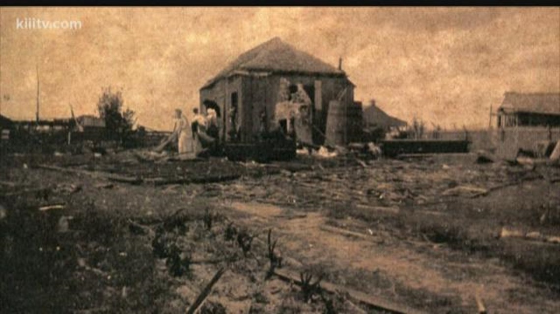
I found an engineering study about damage from the Tri-State tornado in Murphysboro, De Soto, some rural areas, and West Frankfort. It included examples of extreme damage that I'll list below;
Orient Mine, West Frankfort
- A Buick roadster was carried ~200 ft and demolished.
- One 60,000 gallon steel water tank that was anchored with bolts was blown away. One of the steel bearing plates supporting the water tower was bent upwards at a 45-degree angle while another one was twisted.
- A 20-ton locomotive crane was lifted off its tracks and laid against a building.
- A "Cyclone fence" was bent.
- An overhead conveyor was totally destroyed with some of its concrete piers being pulled out of the ground.
Peabody Mine 18, West Frankfort
- A steel pier of a mining tipple was torn completely out of the ground and hurled 45 ft away.
Rural Areas
- An Illinois Central steel railroad bridge over the Big Muddy River (that weighed over 100 tons) was moved 8 inches while a nearby pump house was completely swept away.