
warneagle
Member
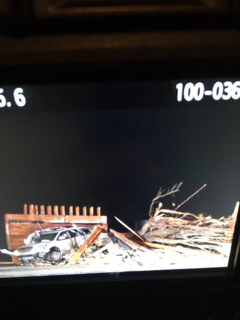
Link to a live feed?
I don't have one, sorry. I don't even know where it would be from in that area.
Follow along with the video below to see how to install our site as a web app on your home screen.
Note: This feature may not be available in some browsers.
Link to a live feed?
Thanks anyway. The radar site I usually use is down today.I don't have one, sorry. I don't even know where it would be from in that area.
What radar site are you using?Incredible TDS on the storm furthest south in Illinois.
Incredible TDS on the storm furthest south in Illinois.

KPAH out of Paducah, KY.What radar site are you using?
This ain't over yet y'all. Supercells back west developing in the new watch area.
Yeah, still very favorable conditions in that area with >1000 J/kg CAPE across most of that area and 300-400 m2s2 ESRH and 60-70 kt bulk shear. Not over by any stretch of the imagination. I really hope people in this area listened and have some way to get warning because we could still be in for some additional strong tornadoes for sure.
And then there's whatever might spin up along the cold front!
Definitely. They actually think that the worst may not be over which is, again, an understandable concern...the 15% hatched risk area is starting to pick up in terms of activity. It looks at this point like this could continue for several hours into Wednesday morning.WSIL met sounds (justifiably) concerned about the new storm back in SE MO.