000
FXUS64 KBMX 231939
AFDBMX
Area Forecast Discussion
National Weather Service Birmingham AL
239 PM CDT Wed Oct 23 2019
.SHORT TERM...
/Updated at 0235 PM CDT Wed Oct 23 2019/
Sunday through Tuesday.
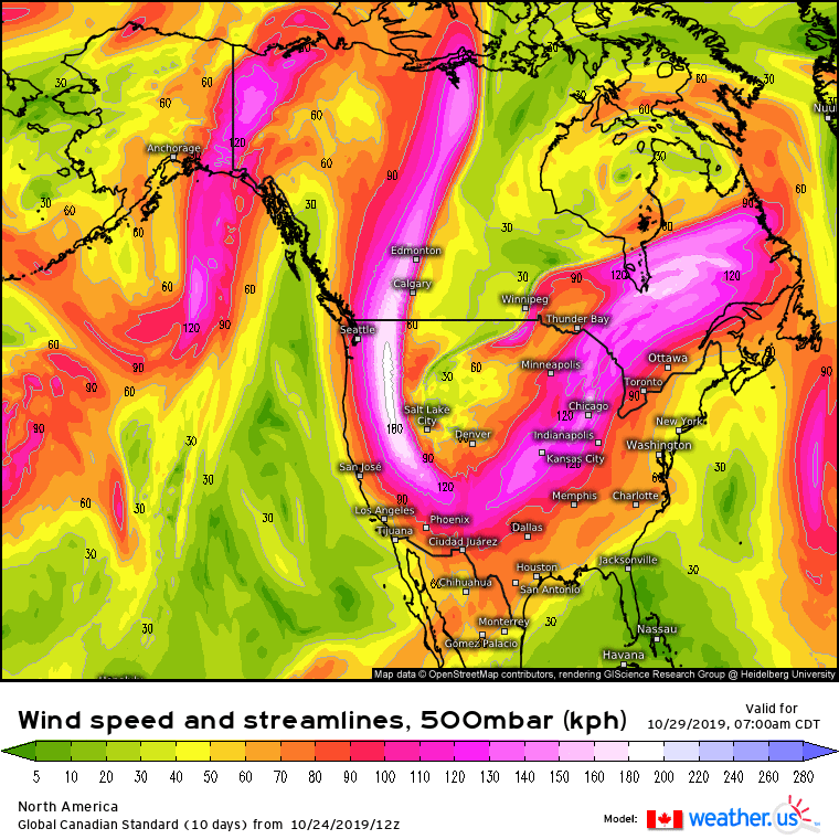
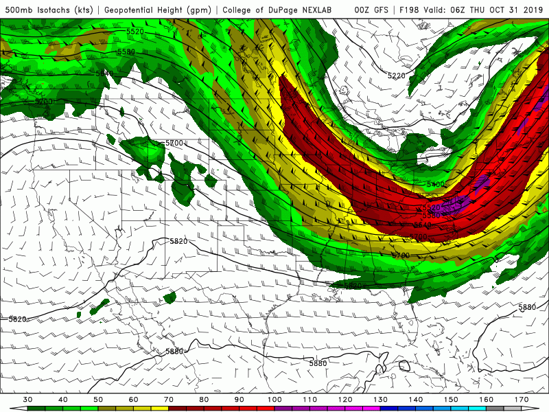
Model spread increases regarding the synoptic pattern evolution for
the remainder of the forecast period. The
GFS develops a deep
trough
over the eastern
CONUS with a reinforcing shot of cooler air.
Meanwhile the
ECMWF/Canadian indicate a positively tilted
trough
over the western
CONUS with subtropical ridging centered over the
Bahamas. This solution is supported by the European
ensemble mean
and WPC`s preference. Will lean towards this solution. Therefore,
the cold
front is expected to stall across the southeast counties
Sunday as it becomes parallel to the upper
flow, before lifting
back to the north early next week. This will result in relatively
warm/humid and
unsettled conditions, ahead of the next potential
system towards the middle of next week.
32/Davis