• Welcome to TalkWeather!
    We see you lurking around TalkWeather! Take the extra step and join us today to view attachments, see less ads and maybe even join the discussion.
    CLICK TO JOIN TALKWEATHER

Severe WX Severe Risk 2/23-2/24

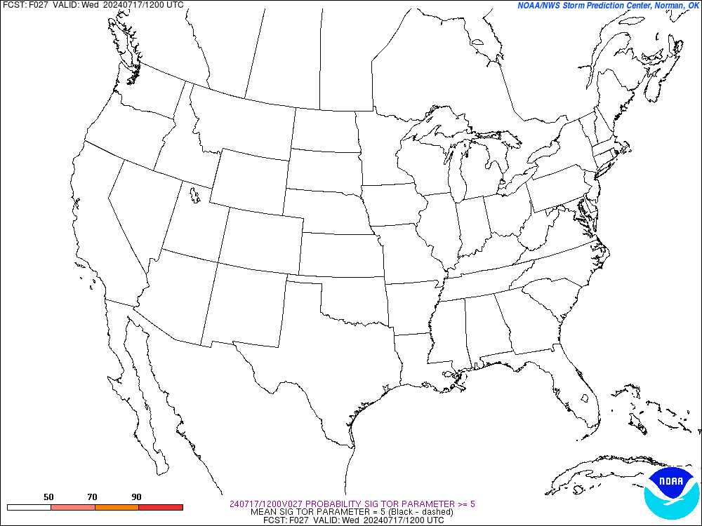
SREF_prob_sigtor_5__f027.gif


I don't ever remember this parameter displaying a 90% percentile. Dangerous day especially across North MIssissippi into NW Alabama.
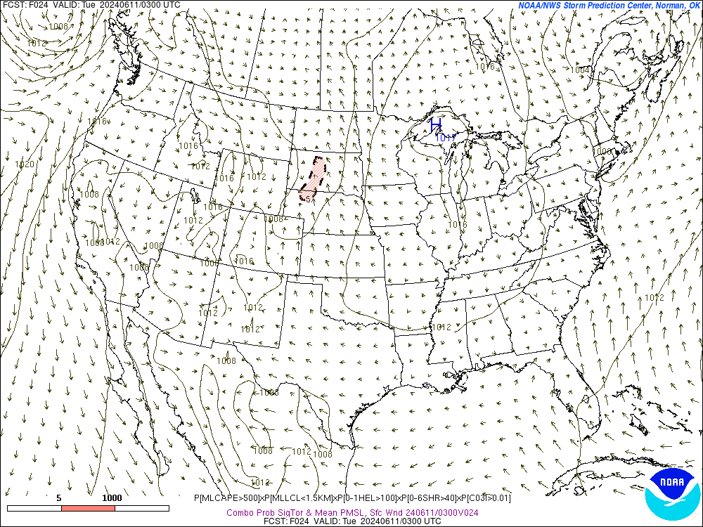
SREF_prob_combined_sigtor__f024.gif
 
This looks bad! I keep saying that this risk looks to me like it will encompass a larger area to the east as well. I wouldn’t be surprised to see the tornado threat to continue further into the evening as well
 
Just looked at the SPC MESO page and already see that the new VTP parameter is showing a "5" across SW Mississippi this hour. KGWX is even showing some hybrid super cellular structures near the warm front attm
 
And with the saturated ground already in place, it will not take much wind at all to knock trees down. I have seen about 5 or 6 trees down in my area just due to saturated soil itself and combine this with wind from storms and that will make this even worse.
 
I still don’t trust the models. I understand they are pretty zeroed in, but this is not a multi day warm sector with an established moisture pool, strong mid level dry slot, and bomb of a low.
 
12z HRRR coming in and still looks nasty. Nearly 2000J/kg CAPE in some places of MS. About time to switch over to mesoanalysis. Looks to be a very interesting day ahead.
 
Back
Top