• Welcome to TalkWeather!
    We see you lurking around TalkWeather! Take the extra step and join us today to view attachments, see less ads and maybe even join the discussion.
    CLICK TO JOIN TALKWEATHER

Tyler Penland

Mountain Snow Miser
Emeritus Moderator
Messages
254
Reaction score
154
Location
Blowing Rock, NC; Elevation 3,575ft
Looks like we'll be kicking off May with a big temperature swing to the cooler side across the southeast.

GFS/Euro actually show high elevation snow for West NC by Friday night with the ULL. Fun times ahead no doubt.... :)
 

JayF

Technical Administrator
Staff member
Administrator
Moderator
Technical Admin
Sustaining Member
Messages
1,628
Reaction score
899
Location
Hartselle, al
HAM Callsign
KB4JCS
Mesoscale Discussion 0620
NWS Storm Prediction Center Norman OK
0715 AM CDT Mon May 01 2017

Areas affected...Southeast AL...southwest into central GA...and the
FL Panhandle

Concerning...Severe potential...Watch unlikely

Valid 011215Z - 011415Z

Probability of Watch Issuance...20 percent

SUMMARY...An isolated strong/severe storm risk should persist
through this morning across southeast AL into portions of
west-central and southwest GA, and the FL Panhandle this morning.

DISCUSSION...Boundary layer destabilization (surface temperatures
rises of 3-6 F and dew point rises around 2 F) has been underway for
the last few hours across southeast AL into west-central and
southwest GA to parts of the FL panhandle in advance of a cold front
approaching this region. 11-12Z surface analysis showed the cold
front extended southward from the middle OH Valley through middle
TN, far northwest GA, southeast AL, and the western FL Panhandle.
Analysis of area VADs per WSR-88Ds indicated deep-layer and
low-level shear are more than sufficient for organized storms this
morning, given sustained southerly 1-km agl winds of 45-50 kt, with
0-1 km shear of 30-35 kt and 0-1 km srh of 200-300 m2/s2. Weak
instability across this region per objective analyses within this
strongly sheared environment has already supported episodic low and
mid-level rotational couplets with the ongoing storms along the
front in south-central to part of southeast AL.

Extensive cloudiness downstream of the cold front should limit
surface heating, though even marginal instability should prove
sufficient for additional organized storms as the cold front
advances east into the discussion area through mid-late morning.
Given the favorable aforementioned shear with the low-level jet
sustaining speeds of 45-50 kt this morning, storm rotations will
remain possible with a low-end risk for a tornado and/or strong wind
gust.

..Peters/Guyer.. 05/01/2017

...Please see www.spc.noaa.gov for graphic product...

ATTN...WFO...FFC...TAE...BMX...MOB...

LAT...LON 30598644 31368599 31958560 32388522 32838479 32948439
32868389 32358370 31598371 30988383 30658399 30448433
30278507 30368550 30438606 30598644
 
Messages
1,174
Reaction score
1,542
Location
jackson tennessee
Special Affiliations
  1. SKYWARN® Volunteer
to be honest... been a pretty lame severe weather season overall for my area, the mid south... westn, east ark. north. ms... as a big severe weather fan and chaser like to score at least a good moderate day in may before things close out n move north and plains states... seem to be off to a cool start, guess this blackberry winter... havent dug into long range much last two days... hopefully may have one more good chance of a severe event for the mid south...
 

N4GKS

Member
Messages
22
Reaction score
16
Location
Meridianville, Al.
HAM Callsign
N4GKS
Special Affiliations
  1. ARRL Member
One more cool spell before Summer. Very nice.
 
Last edited:

Kory

Member
Messages
4,928
Reaction score
2,120
Location
Tuscaloosa, Alabama
Pretty chilly day ahead....we jump 20 degrees tomorrow. With highs in the mid to upper 70s for your Saturday. Just crazy.

Longer term, big polar blocking which keeps the pattern quite suppressed for May. We may not be done with big storm systems by any stretch. Climo wise, we usually begin to switch to a summer time, diurnal convection driven pattern in ~2-3 weeks.
 

Taylor Campbell

Moderator
Moderator
PerryW Project Supporter
Messages
2,203
Reaction score
2,396
Location
Wedowee, AL
Special Affiliations
  1. SKYWARN® Volunteer
Pretty chilly day ahead....we jump 20 degrees tomorrow. With highs in the mid to upper 70s for your Saturday. Just crazy.

Longer term, big polar blocking which keeps the pattern quite suppressed for May. We may not be done with big storm systems by any stretch. Climo wise, we usually begin to switch to a summer time, diurnal convection driven pattern in ~2-3 weeks.

A pretty unusual pattern in the models for late next week. I don't see it often. It'll be interesting to see what comes of it. There could be a potentially significant threat of severe weather next Friday.
 

Kory

Member
Messages
4,928
Reaction score
2,120
Location
Tuscaloosa, Alabama
What? Not with the eastern trough driving cool, stable air down from Canada east of the Rockies and blocking moisture return. #Mayfail
There were a couple runs of both the Euro and the GFS that showed a very low amplitude system coming through. I'm not sold on any particular solution given the trouble resolving the aforementioned higher latitude blocking. Plus, we've had a lot of systems look good on the models and then poop out as they materialize...
 

warneagle

Member
Messages
4,306
Reaction score
4,774
Location
Arlington, VA
Special Affiliations
  1. SKYWARN® Volunteer
We've had about 1.7" of rain just today, not counting a fair amount last night. We're on the cusp between abnormally dry and moderate drought here after an unusually dry winter, so we'll most definitely take it. Depending on how long this omega block holds up we might end up most of the way out of the drought by the end of next week; looks like it'll be dry for a few days midweek but we should have another period of good rain next weekend.
 

Bama Ravens

Member
Messages
1,229
Reaction score
686
Location
Morris, AL (Northern Jefferson County)
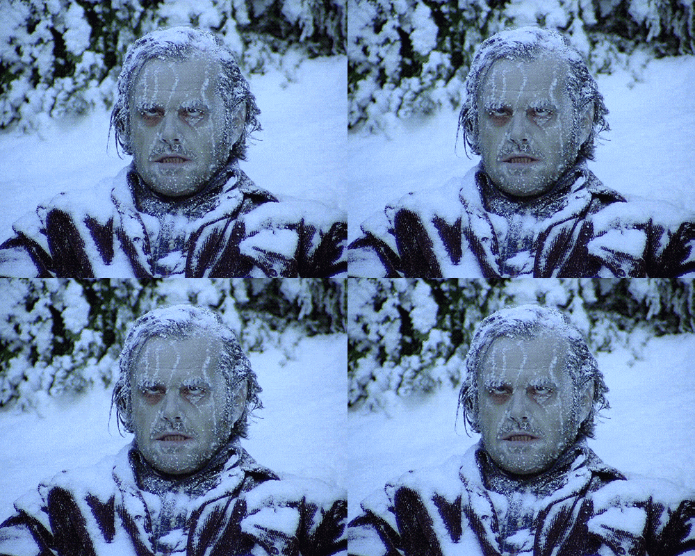
Me today:

source.gif


Bring on the 90° temps.
 
Back
Top