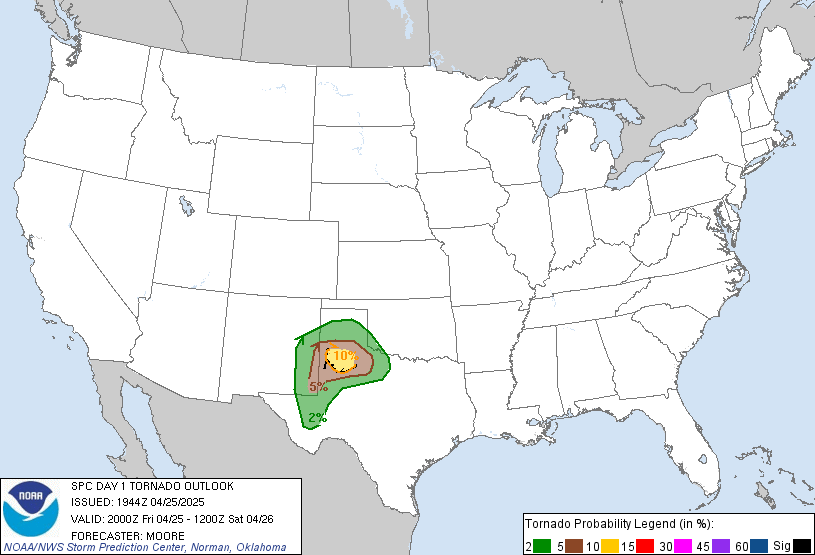
Day 1 Convective Outlook
NWS Storm Prediction Center Norman OK
0233 PM CDT Wed May 04 2022
Valid 042000Z - 051200Z
...THERE IS A MODERATE RISK OF SEVERE THUNDERSTORMS FROM THE
SOUTHEAST TEXAS PANHANDLE AND NORTHWEST TEXAS ACROSS MUCH OF
OKLAHOMA...
...SUMMARY...
Numerous severe thunderstorms are expected across parts of the
southern Great Plains this afternoon through tonight. A few strong
tornadoes and giant hail is most probable across the southeast Texas
Panhandle into portions of southwest Oklahoma and north Texas. Wind
damage as well as tornadoes are also possible across the remainder
of central and eastern Oklahoma through tonight.
...Eastern TX Panhandle/South Plains into much of OK...
The Moderate Risk has been expanded eastward across a large portion
of OK, as the air mass continues to destabilize and remain free of
storms. Visible imagery continues to show pockets of heating, and
increasing CU fields near the Red River. Surface observations show
an unbroken plume of 68-70 F dewpoints now into southern OK, with
GPS water vapor sensors indicating a deepening moist boundary layer
with values increasing to over 1.50" over northwest TX.
Midday soundings reveal a capping inversion below 700 mb which is
helping to maintain the pristine air mass and guard against early
contamination. This inversion may also help to subdue the number of
storms later today across OK and northern TX. Any supercell over the
warm sector will have the potential to produce a strong tornado,
aided by midlevel lapse rates near 8 C/km and dewpoints of 68 F or
greater. Later this evening, storms moving out of the Panhandle may
eventually merge into a severe MCS with significant wind damage
potential. In addition, further supercell develop may occur tonight
along the baroclinic zone extending eastward across OK.
Farther west into the TX Panhandle and South Plains, rapid
destabilization continues, beneath cooler air aloft. Supercells
producing very large damaging hail are likely, with a threat of
strong tornadoes as supercells interact with increasing low-level
shear to the east.
See mesoscale discussions 640, 642, 643 for more information.
..Jewell.. 05/04/2022

