
Navigation
Install the app
How to install the app on iOS
Follow along with the video below to see how to install our site as a web app on your home screen.
Note: This feature may not be available in some browsers.
More options
-
Welcome to TalkWeather! We see you lurking around TalkWeather! Take the extra step and join us today to view attachments, see less ads and maybe even join the discussion. CLICK TO JOIN TALKWEATHER
You are using an out of date browser. It may not display this or other websites correctly.
You should upgrade or use an alternative browser.
You should upgrade or use an alternative browser.
Severe WX May 2019 Plains Severe Event
- Thread starter warneagle
- Start date
-
- Tags
- severe southern plains
xJownage
Member
For all those with GR issues using gr2, I switched feeds to this one and it's giving me actual updates:
Equus
Member
Yeah pretty much any and all severe weather data sources are kinda getting piled on right now I'd wager
TornadoFan
Member
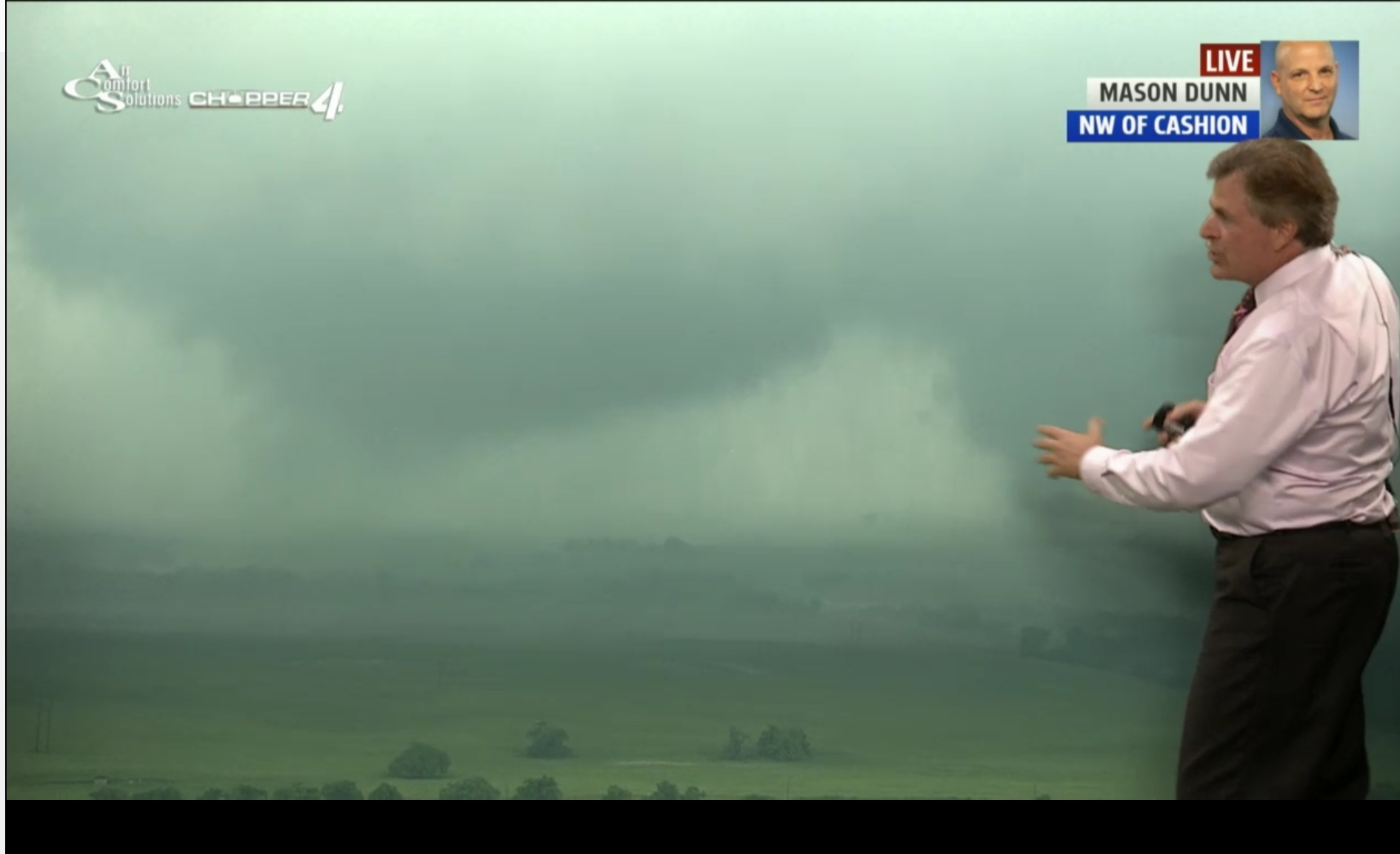
Wow, that Kingfisher County storm really ramped up.
- Thread starter
- #365
warneagle
Member
Large tornado on the ground near Crescent. Might be two separate funnels.
xJownage
Member
2 large mesos with debris on the ground on KFOR.
BayouWeatherGeek
Member
KWTV has a big multi-vortex tornado of the ground now.
SilentShadow87
Member
Multi-vortex tornado with no condensation funnel...that's a dangerous mix if there ever was one.
NorthGaWeather
Member
Once South Central Oklahoma fills in...boom. Incredible environment there right now.
xJownage
Member
That Childress, TX cell from earlier is really starting to get organized again. Looks awful dangerous.
xJownage
Member
The rotation on the crescent cell is continuing to intensify on radar, especially the northerlies. If this fully condenses and you start getting stronger vorticies this could get really violent. Also, there's still two different circulations.
bwalk
Member
Agree on the Childress storm but what happens once it crosses into OK into an apparently still moderate-to-strong capped environment?
RainyMorning
Member
Twins on KFOR stream
TornadoFan
Member
Mark Hill has two on his stream.
xJownage
Member
Actually, reminds me of el reno with large vorticies under a single gigantic circulation.
SilentShadow87
Member
Link?Mark Hill has two on his stream.
xJownage
Member
Just went offline, but he's on severestudios.Link?
bwalk
Member
Dan Robinson makes a helpful observation re the capping for what was/is progged as the most explosive area for dangerous tornado development (SW OK):
"Special soundings by the NWS and the COD teams are showing a significantly stouter capping inversion below 700mb than forecast, which is quite possibly the biggest enhancing factor development we've seen today. All of the possible failure modes of this event have vanished, and enhancing factors like more clearing (at least filtered sunlight in most areas) and now a stronger cap have really put this event into a top-level setup in terms of the environment."
"Special soundings by the NWS and the COD teams are showing a significantly stouter capping inversion below 700mb than forecast, which is quite possibly the biggest enhancing factor development we've seen today. All of the possible failure modes of this event have vanished, and enhancing factors like more clearing (at least filtered sunlight in most areas) and now a stronger cap have really put this event into a top-level setup in terms of the environment."
SilentShadow87
Member
Is it still looking like the most dangerous storms will be after dark? I can't get any of the sites to open.