ctopher5
Charter Member
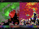
First tornado warning of the day for southern Troup and northern Harris counties until 7:30 AM

Sent from my iPhone using Tapatalk
Sent from my iPhone using Tapatalk
Follow along with the video below to see how to install our site as a web app on your home screen.
Note: This feature may not be available in some browsers.
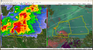
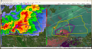
And here we go…
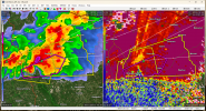
I just came back to add this LOL40/30 probs