- Thread starter
- #81
akt1985
Member
This weekend is also the Shrimp Festival in Gulf Shores and Crusin’ The Coast in Biloxi. I would hate to be the event organizers for both.
Follow along with the video below to see how to install our site as a web app on your home screen.
Note: This feature may not be available in some browsers.


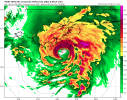
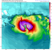
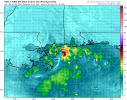
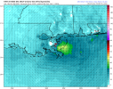
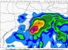
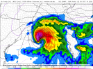


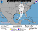
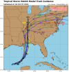
I hope not. I'm starting to get Hurricane Opal vibes from this one.Could be shaping up to be one of those classic seasons of "It only takes one..."
And of course it's got to be the "I" name.
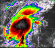

 weather.cod.edu

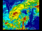
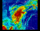

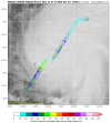
Recon found that Isaias has deepened significantly to ~991 mb and tightened up LLC quite a bit
Edit: dropsonde found 997mb, I would go with that.
View attachment 55157View attachment 55158