

Thanksgivingbrown
Member
This place is dead considering we got our first real storm to track this season
Follow along with the video below to see how to install our site as a web app on your home screen.
Note: This feature may not be available in some browsers.


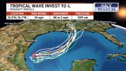


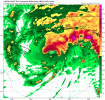
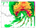
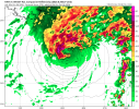
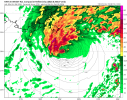
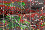

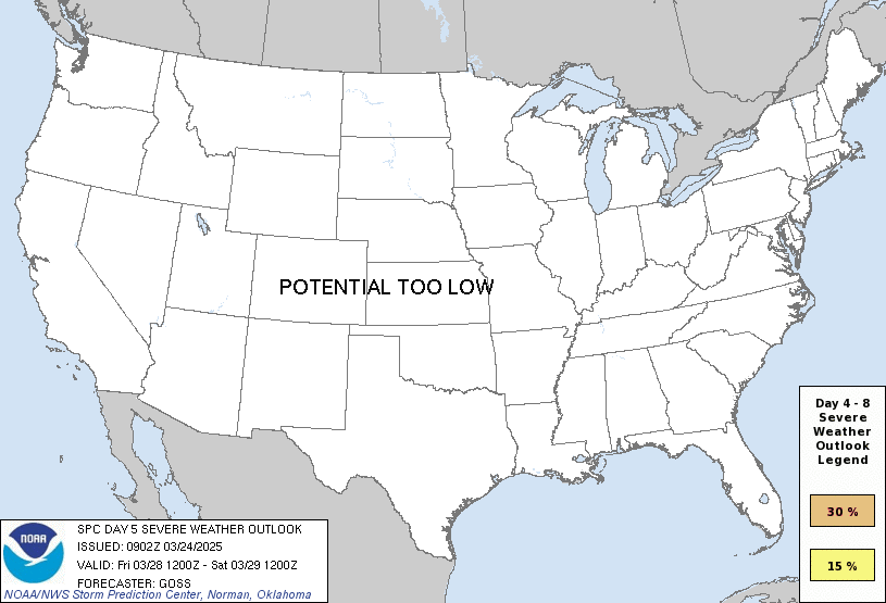

Made a thread in the severe forumDay 5 15% yellow highlighted risk issued for the gulf coast

Yeah, I'm not buying a major. It'll certainly become a lower end hurricane though. I don't think the shear is forecast to relax at all either.I'm just not at all sure about this one. Hard to see how it gets going well and survives.
I think we'll have a better idea once we see how/where cyclogenesis happens. Where the low-level center consolidates matters most, because a Bay of Campeche center versus one further east or north changes the track and the time over water. The models are being run on a system that hasn't really organized yet. Lots can still change.Yeah, I'm not buying a major. It'll certainly become a lower end hurricane though. I don't think the shear is forecast to relax at all either.
I think we'll have a better idea once we see how/where cyclogenesis happens. Where the low-level center consolidates matters most, because a Bay of Campeche center versus one further east or north changes the track and the time over water. The models are being run on a system that hasn't really organized yet. Lots can still change.