- Thread starter
- #381
No overall changes. Pall Einarsson, who seems not to be given to overstatement or wasted words, told Morning Paper (autotranslated) that it is a situation never before seen in Iceland or anywhere else.
The national weather service, IMO, did its best to make a forecast in today's update:
This layperson's guess is that the unusual features are due to Iceland being part of the Mid-Atlantic Ridge system, since that's one of two unique things here.
Something down there also has produced a lot of lava as well as uplift that has raised the Ridge as much as a mile above sea level, but after doing some reading I'm not as certain as I used to be that those who call it a mantle plume are completely right -- those who disagree have very convincing arguments, too (mainly Martinez et al. and Foulger et al. in the sources used for my blog post series, with Allen et al. being the most convincing "pro-plume" advocates I've read so far).
Anyway, the other unique thing is interaction between the Ridge and this mantle anomaly -- as you might expect, with so little known about either, that is debatable, too.
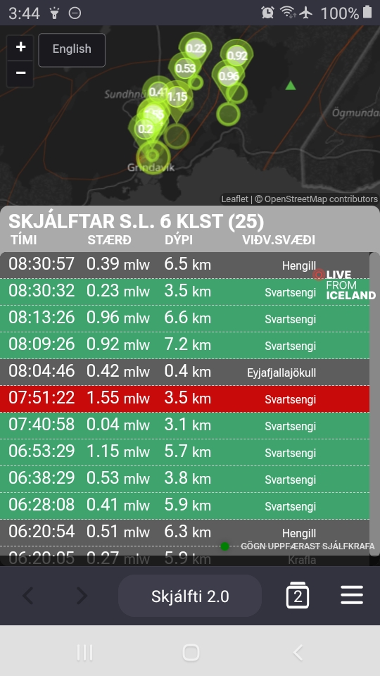
It would all be so arcane and academic if it hadn't already essentially destroyed a major Icelandic town and if it wasn't occurring underneath the country's most populous region.
The national weather service, IMO, did its best to make a forecast in today's update:
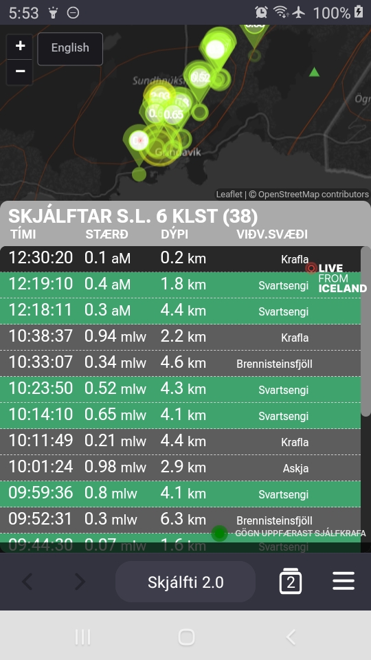
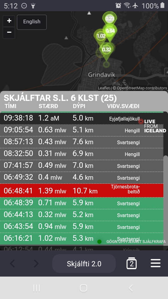
Landris in Svartsengi continues at the same rate as models predict that the amount of magma added to the magma chamber in Svartsengi since the eruption began on March 16 is now approaching 10 million m 3 as the graph below shows. In previous events, magma has flowed from Svartsengi when between 8 and 13 million m3 have been added to the magma chamber since the last magma flow.
The graph shows the estimated amount of magma that has been added under Svartsengi between the eruptions or magma flows that have occurred since November 2023.
If magma accumulation continues at a similar rate, there is a greater chance that the power of the eruption on the Sundhnúks crater series will increase significantly.
- New fissures open in the area between Stóra-Skógfell and Hagafell and/or the existing fissure expands due to a sudden increase in lava flow that could be comparable to the initial phase of the last volcanic eruption in the area. It could happen with very little or no notice.
- It is also possible that magma flow from the magma chamber under Svartsengi to the Sundhnúks crater series will gradually increase until there is a balance between the inflow of magma into the magma chamber and the outflow from there to the surface.
It is also possible that there will be a magma run that ends with new fissures opening elsewhere than in the area between Stóra-Skógfell and Hagafell. This scenario is considered less likely than the others and would be accompanied by considerable seismic activity and deformation with more advance notice than previous eruptions...

This layperson's guess is that the unusual features are due to Iceland being part of the Mid-Atlantic Ridge system, since that's one of two unique things here.
Something down there also has produced a lot of lava as well as uplift that has raised the Ridge as much as a mile above sea level, but after doing some reading I'm not as certain as I used to be that those who call it a mantle plume are completely right -- those who disagree have very convincing arguments, too (mainly Martinez et al. and Foulger et al. in the sources used for my blog post series, with Allen et al. being the most convincing "pro-plume" advocates I've read so far).
Anyway, the other unique thing is interaction between the Ridge and this mantle anomaly -- as you might expect, with so little known about either, that is debatable, too.
It would all be so arcane and academic if it hadn't already essentially destroyed a major Icelandic town and if it wasn't occurring underneath the country's most populous region.
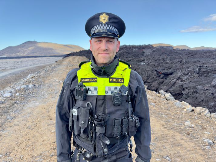
") Seriously, I read somewhere that they are turning 50-100 people a day away even though volcanologists are saying over and over again that this could open up with an initial burst):
Seriously, I read somewhere that they are turning 50-100 people a day away even though volcanologists are saying over and over again that this could open up with an initial burst):