wx_guy
Member
- Messages
- 1,237
- Reaction score
- 4,443
- Location
- United States
- HAM Callsign
- KO4ZGH
- Special Affiliations
- SKYWARN® Volunteer
- ARRL Member
You beat me to it haha lolView attachment 28999
132kt at the surface in the NW eyewall.
Follow along with the video below to see how to install our site as a web app on your home screen.
Note: This feature may not be available in some browsers.
You beat me to it haha lolView attachment 28999
132kt at the surface in the NW eyewall.
Hurricane Cheat Codes:Beryl is literally cheating. All the other hurricanes who experienced high shear are jealous


Let us all hope this isn't the season a hurricane discovers ↑ ↑ ↓ ↓ ← → ← → [ B] [A] [Start]Hurricane Cheat Codes:
←←←←[SELECT]↑↑[SELECT]← = Bypass Shear (used by Wilma, Beryl)
←←↓[SELECT][START]↑↓↓ = Lower Central Pressure (used by Katrina, Camille and others)
↑→→↑↑↓ = Form in Unusual Location (used by Vince, Beryl and others)
←→[START]→→↑↑↑ = Form Mini Swirls (used by Andrew, Iniki and Beryl)
[START][START]↑←↓→[START][START]↑↑↓↓↑←↓→[START] = Super Ultra Mega Cheat (used by Beryl, Katrina, Dorian, Camille and others)
 125 miles from Kingston.
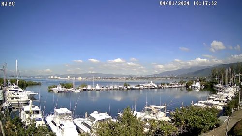
 www.webcamtaxi.com
Side show Bob Blob still tagging alongA much more ragged look to Beryl this morning, but it's not weakening enough in time to give Jamaica much relief.
952mb, still an impressive 145mph storm.
View attachment 29005
Hurricane Beryl Discussion Number  20
NWS National Hurricane Center Miami FL       AL022024
1100 AM EDT Wed Jul 03 2024

Westerly shear is having an effect on Beryl this morning, as the eye
has all but disappeared in satellite imagery and the cloud pattern
has become ragged and elongated from southwest to northeast.
Reports from NOAA and Air Force Reserve Hurricane Hunter aircraft
indicate that the central pressure has risen to near 954 mb.
However, the Air Force plane measured flight-level winds of 139 kt
at 700 mb, while the NOAA plane measured 138-kt winds at 750 mb.
These winds support surface winds of 120-125 kt, and based on this
the initial intensity is held at 125 kt.

The initial motion is now 285/16.  A strong mid-level ridge centered
over the southeastern US is expected to continue steering Beryl
generally west-northwestward at a decreasing speed for the next
couple of days or so.  The motion should bring the center near or
just south of Jamaica during the next 6-12 h and south of the Cayman
Islands tonight.  After that, the system should reach the Yucatan
Peninsula of Mexico in 36-48 h and emerge over the southwestern Gulf
of Mexico by 60 h.  Once over the Gulf, there remains a sizable
amount of spread in the track guidance, with the GFS and HWRF
showing a more northerly motion toward the Texas coast while the
ECMWF and UKMET show a more westerly motion toward the coast of
Mexico.  This part of the track forecast lies near the consensus
models in the middle of the guidance envelope, and overall there are
no significant changes to the forecast from the previous advisory.

While there is some disagreement in how much shear Beryl will
encounter before reaching Yucatan, the intensity guidance expects
enough shear that it agrees on steady weakening.  The official
forecast follows this and is at the high end of the guidance
envelope.  Beryl should weaken more while over Yucatan, then slowly
re-intensify over the Gulf of Mexico in a somewhat more favorable
environment.  The intensity forecast again calls for the cyclone to
regain hurricane strength before it reaches the western Gulf coast,
followed by weakening after landfall.