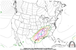
18z Euro is in, and it is deeper, stronger, a bit more curved with the trough, and it's not as in-your-face positive tilt.
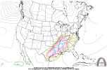
RGEM and ICON are also more curved with the trough, and these guys were the first to trend toward what we have as the current model evolution. ICON also isn't a positive tilt by Friday late evening either, and for that matter, RGEM isn't as in-your-face with the positive tilt itself.
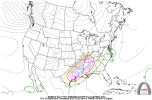
18z Euro still has the strong signal for renegade stuff in the open warm sector in the evening and overnight Friday well ahead of the predawn prefrontal main round, like the 12z run. 18z Euro brings that prefrontal main round in as cellular stuff though and gets it deep into central MS and north central AL going into Saturday morning...
Watching for trends...