
akt1985
Member
With the news today, ironically, the next name on this year’s list is….Dolly.
Follow along with the video below to see how to install our site as a web app on your home screen.
Note: This feature may not be available in some browsers.

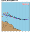


Interesting in their last tweet they referred to the tropical storm as "short lived".NHC is initiating advisories on TS Dolly starting at 11 am. Here fishy, fishy.
it's going to get torn apart by shear by saturday evening. it's probably already close to peak strength.I sure hope Dolly stays out to sea. I would hate for it to be bad enough to have to have the name retired.


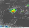

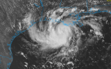
The Tropical Storm Warning has been extended eastward to the
Vermilion/Iberia Parish Line in Louisiana.
A Storm Surge Watch has been issued for the U.S. Gulf Coast from
High Island, Texas, to the Vermilion/Cameron Parish Line, Louisiana.
SUMMARY OF WATCHES AND WARNINGS IN EFFECT:
A Tropical Storm Warning is in effect for...
* Port Bolivar to the Vermilion/Iberia Parish Line
A Storm Surge Watch is in effect for...
* High Island to the Vermilion/Cameron Parish Line

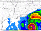
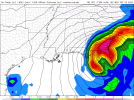
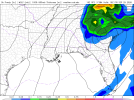


I, for one, will gladly take a weaker hurricane season than normal right now. These past few years have been insane, and while we have been spoiled with nice looking and relatively undamaging storms like Erin and Humberto, we've also been cursed with Helene, Milton, etc. The ultimate double edged sword.12Z is later - right up the peninsula then briefly offshore of Savanna and another landfall into the carolinas. Also is later than the previous runs - so there's the very real chance that the GFS is just showing this two weeks out perpetually.
Sad that this is best we have to watch - I'm having Atlantic hurricane withdrawals this season.
