warneagle
Member
Not the right ocean but we could be looking at one of the more significant tropical events to ever affect the Arabian Peninsula. Obviously the last thing Yemen needs given the frail state of the infrastructure there.
Follow along with the video below to see how to install our site as a web app on your home screen.
Note: This feature may not be available in some browsers.


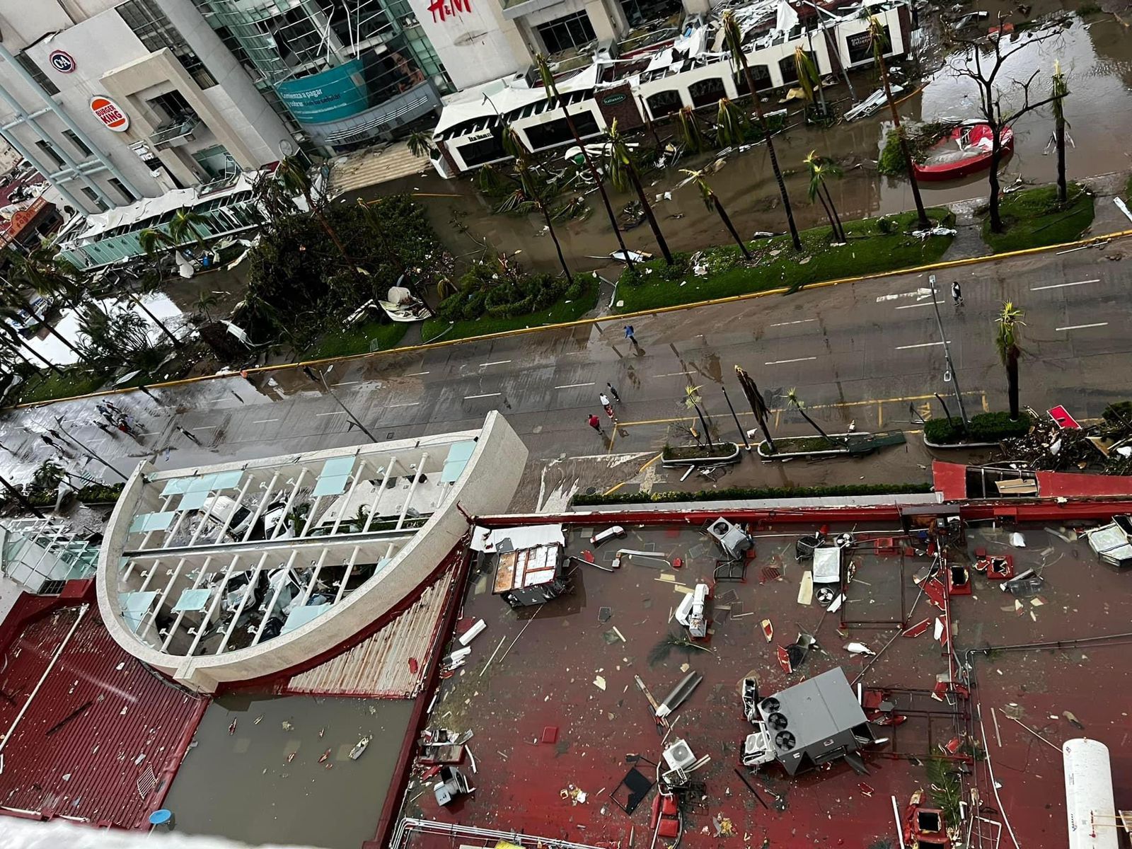
Good lord, that discussion is...something else.Otis is now a Cat 5 and is getting perilously close to Acapulco. Pretty hard to find a worse scenario along the Pacific Coast of Mexico than this, especially given the short notice of Otis' explosive intensification.
View attachment 21885

Very warm waters, El Nino, and favorable atmospheric conditions. Though that's just partly whyHurricane noob here. What ingredients were in place for this thing to intensify so quickly?