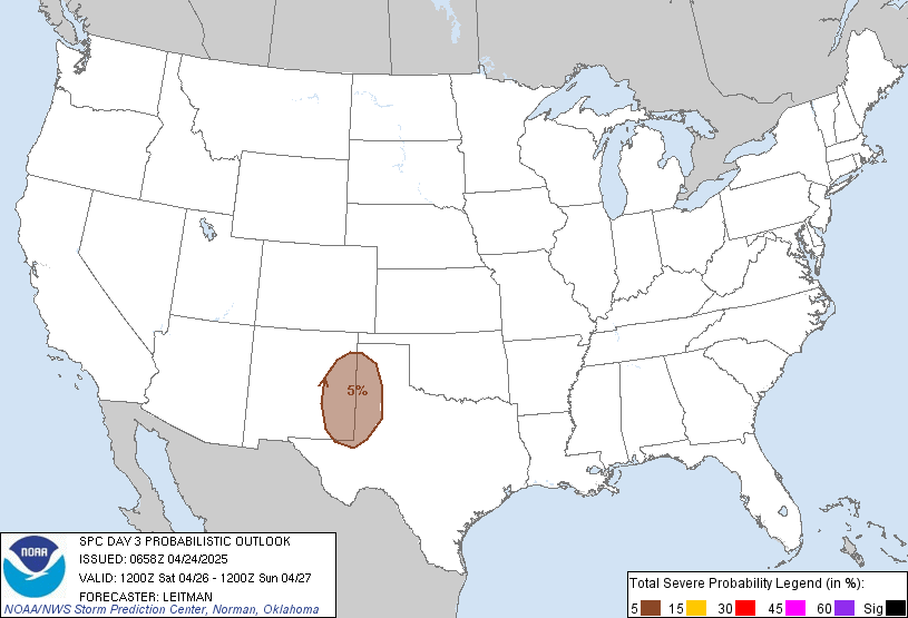
I plucked this from AmericanWX. LOT is putting out some really detailed and easy to understand outlooks, here is there’s for tomorrow:
Main focus then turns to the potential for severe weather mainly late Tuesday afternoon and evening. As we`ve been noting, this setup appears to be much more "conditional" than last Friday`s for a number of reasons. First is that
large scale forcing will be more subtle/weaker as the parent 500
mb low is currently forecast to be well west across western/central Nebraska and South Dakota by early Tuesday evening. Second is that
capping will be playing more of a central role as an expansive
EML plume characterized by extremely steep mid-level lapse rates and attendant warm nose around 800
mb will
likely result in considerably MLCIN through much of the afternoon hours. Whether or not the aforementioned subtle
large scale forcing is able to overcome this is one of the main questions yet to be answered and will
mean the difference between few to no storms in the local area versus a potential significant severe episode in the region.
From a conceptual standpoint, the surface warm
frontwill make slow, but gradual northward progress through the region on Tuesday as more notable pressure falls develop across Wisconsin and Iowa. Seems like the
front`s forward progress will probably get held up a bit by the cool lake with it having a harder time making progress north of the Wisconsin state line during the evening. Wide open Gulf trajectories will allow an expansive region of 60s dewpoints to
surge northward although forecast soundings continue to indicate the moist layer will be somewhat shallow. Still, seeing signs of higher dewpoints pooling near the warm
front, possibly in response to mixing into higher mixing-ratio air just off the surface (with this in mind drizzle and pockets of
fog appear possible Tuesday morning and even into the afternoon north of the
front). Even the WRF-ARW which utilizes a more aggressive
PBLscheme and tends to readily "mix-out" shallow moist layers holds onto low 60s dewpoints up to the I-88 corridor.
The big question here is whether the base of the relatively warm
EML plume can be lifted and cooled sufficiently by only very modest
large scale forcing for ascent with neutral or even positive mid-level
heighttendencies noted over us in a narrow window during the late-afternoon and early-evening. The
ECMWF and
GFSboth have been consistently saying "yes" to this question as the nose of a 60-70
kt 500
mb jet maxpushes across central Illinois during the afternoon hours, but it`s easy to find other guidance which says "no", leaving too much
convective inhibition in place for
thunderstorm initiation. That said, am somewhat concerned by potential trends noted in hires guidance which seem to be headed more towards the
ECMWF/
GFS camp in eroding the
capping layer just enough to result in explosive
thunderstormdevelopment somewhere across eastern Iowa/northeast Missouri/west-central Illinois, and seems like more than half of the EPS members do so as well based on a cursory glance.
IF
convection develops, it would have access to an highly volatile cocktail of high
instability and truly eye-popping kinematic parameters with large, sweeping/
looping hodographs driving very high effective
SRH and, importantly, significant low-level storm-relative inflows. While a
cap Forecasted Convective Amplification Deficiency scenario is still on the table (one where inhibition remains too high and storms struggle to develop or don`t develop at all), it`s hard (and probably foolish) to ignore the consistency of the
ECMWF,
GFS, and now recent runs of the extended HRRR. Corridor of most focused severe weather potential would seem to be setting across roughly the northwest half of the
CWA late Tuesday afternoon into the mid-late evening with all modes of severe weather possible, but contingent on robust convective development materializing in the first place. Given the presence of at least some
capping, it`s also possible that only a few storms develop or become severe, but any of these would have the potential to drop sig tors given the
parameter space. It`s also conceivable that initial severe thunderstorms start to weaken a bit during the evening as
CIN increases with the loss of daytime heating and as they get close to or cross the warm
front. We`ll highlight these two scenarios in our graphical messaging today to try to better explain the vast chasm that exists between outcomes.


