tennessee storm chaser
Member
This one definitely has moderate all over it …. Things hold together we see our first high risk potential of the year 4/4 system . But little out thereBuddy the real question is if they whip out a High Risk. (No)
ok my badWrong thread, this is forecast discussion for the next upcoming event.
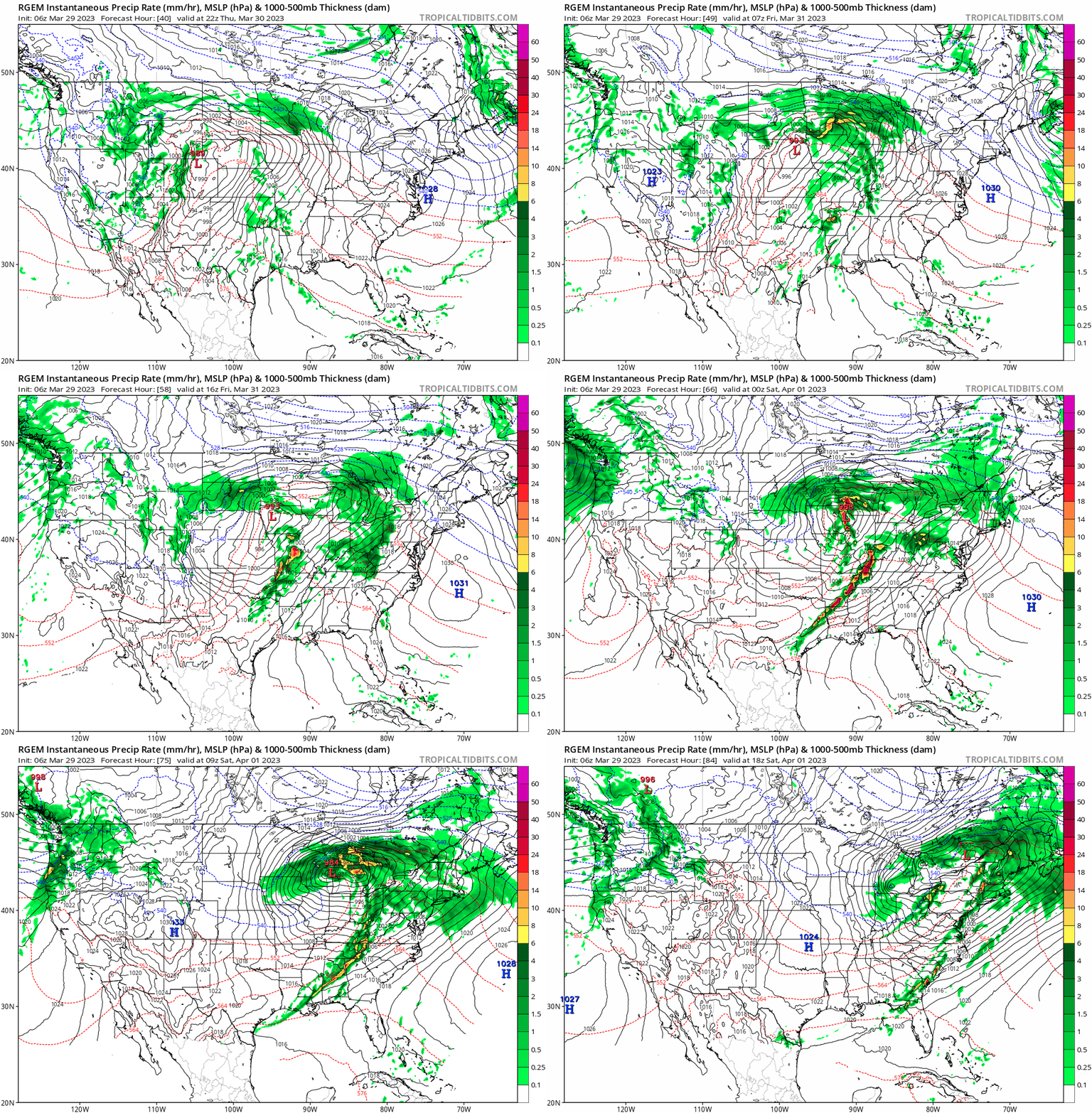
Upper 50s/around 60 dewpoints will do in this case that far north. It will be very cold aloft closer to the ULL.Last couple of NAM runs (especially 00Z) suggesting the northern end of this setup might struggle with moisture return moreso than previously thought. That cold high pressure tomorrow is really gonna wipe it out. OTOH it is the NAM so... And the precip fields even appear to be popping an arc of semi-discrete convection in that classic sweet spot just southeast of the surface low.
As someone who was only been a serious weather enthusiast for about 3 years, I do have a question.One of the challenging/frustrating things about these highly dynamic setups (which we seem to be on a long string of, although I suppose that's typical for winter/early spring) is that the conditions change so fast, and with (pre-CAM range) model runs only valid every three hours at best, it's hard to get an uncontaminated forecast sounding that's a representative snapshot of the environment that will actually be feeding the storms in terms of both thermodynamics and kinematics.
4/27/2011 was not originally looking like the biggest day of the sequence. April 26th looked bigger up until about 2-3 days out.As someone who was only been a serious weather enthusiast for about 3 years, I do have a question.
In some of the bigger, high-end events you saw the lead up to in the past (2011s especially) was there as much model flip flopping and divergence between the modes leading up to those events?
Or was it obvious from the get go with agreement and consistency from the models that these events were the real deal.
These past few months have been my first time utilizing the models, so i could be off base and this is a common occurrence.
That’s astounding. I had no idea 4/26 was looking like the main event.4/27/2011 was not originally looking like the biggest day of the sequence. April 26th looked bigger up until about 2-3 days out.
I revisit different parts often trying to learn more about the different parts leading up to the main event.I really recommend reading through the archived thread here, it gives amazing perspective on the evolution of the threat over the ~week prior to the 27th. Certainly it looked to be significant from a ways off but the true scale of the possible event wasn't immediately apparent.
Well...
Very strong signal for tornadoes on CSU MLP guidance at this stage.
Unfortunately image did not load