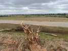
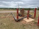
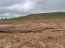
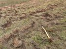
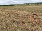
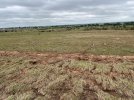
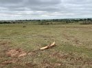
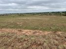
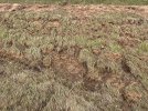
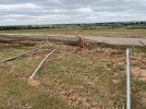
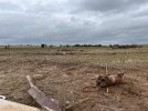
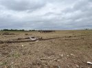
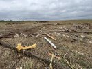
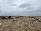
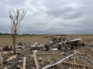
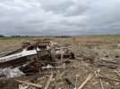
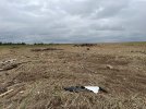
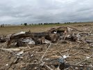
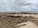
With this discussion regarding Enid’s rating, I think now is the appropriate time to finally share some of the images I captured of the damage from the tornado 2 days afterward. I’ll mainly be focusing on the stretch from South 16th Street (the road just east of the Enid landfill) and then of course Southgate Road.
This might be two posts, so bear with me. First and foremost, as an enthusiast who’s been looking at high-end tornado damage very heavily for nearly a decade now and feel I’m relatively knowledgeable in this sort of thing, I absolutely believe this was an EF5 strength tornado.
I vividly remember following the track and once I got to the stretch of damage I mentioned above the first thing that came into my mind was “This is an EF5.” Now, I didn’t expect it to get that rating because structurally it doesn’t warrant that rating. Contextually however, I felt all the evidence was there that clearly pointed to EF5 intensity being attained.
Now with the studies that have been conducted finding legitimate indicators that could warrant an upgrade to EF5, along with the overwhelming contextual evidence, my only question now is why not rate it such? To me it just doesn’t really make sense and is almost refuting the evidence that is there.
That concludes my rant on the matter, so here’s photos I have from South 16th Street.
View attachment 54354View attachment 54355View attachment 54356View attachment 54357View attachment 54358View attachment 54359View attachment 54360View attachment 54361View attachment 54362View attachment 54364
I also must add that I didn’t go and photograph the extreme tree damage off in the distance east of the road, as I’m not gonna lie there was a lot of traffic on the road and wasn’t sure if that was private property. In hindsight, I do wish I did because from what I could see even from afar it was truly upper-echelon damage. Even small shrubs were completely stripped in similar fashion to the shrub I photographed above.