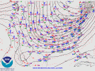
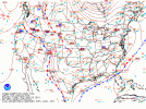
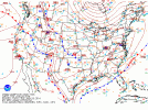
My thought is that the models may be having tough time understanding the cyclogenesis of the low. The shortwave is going to be meeting the temp gradient created by the Gulf warm waters and setting things off. The ensembles have the low all over the place - but most members over the central and southern gulf, which doesn't make a lot of sense to me because of the temp of the water. The baroclinic zone being that far south would mean the warmth in the central gulf (70-80s) and the warmth in the southern gulf (it's almost 90 today on the Yucutan peninsula) just gets totally blasted south. Possible, but that's what I am most skeptical about. I think the baroclinic zone (greatest temp gradient) might very well set up further north because of the heat of the gulf. Betting against that warmth hasn't gone well this year. I'm betting the low forms and tracks further north than where the globals think, and because of the tighter gradient, I'm betting on a stronger low than expected. So more warm nose, more northerly precip shield, greater impacts.