warneagle
Member
The Wichita area might have some flooding issues this evening. Slow-moving storms producing a lot of heavy rain. I think the WPC had a moderate risk up that way.
Follow along with the video below to see how to install our site as a web app on your home screen.
Note: This feature may not be available in some browsers.
That's a really tight couplet moving toward Erick, OK. Could be a strong tornado in progress with that one. Confirmed TOG.
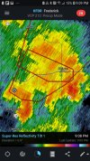
Yeah, I think I see what you're talking about, it's kind of messy since it's a good ways away from the radar.Is it me or does it look like there's two tight couplets on that storm?
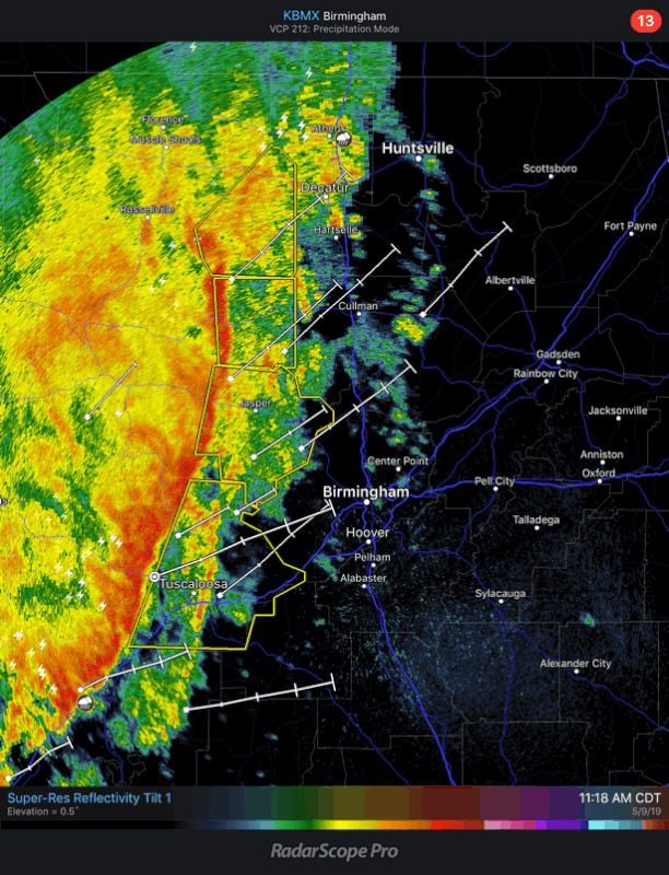

Rotating wall cloud reported with this cell per spotters.That Lincoln County storm looks like it's tightening up.