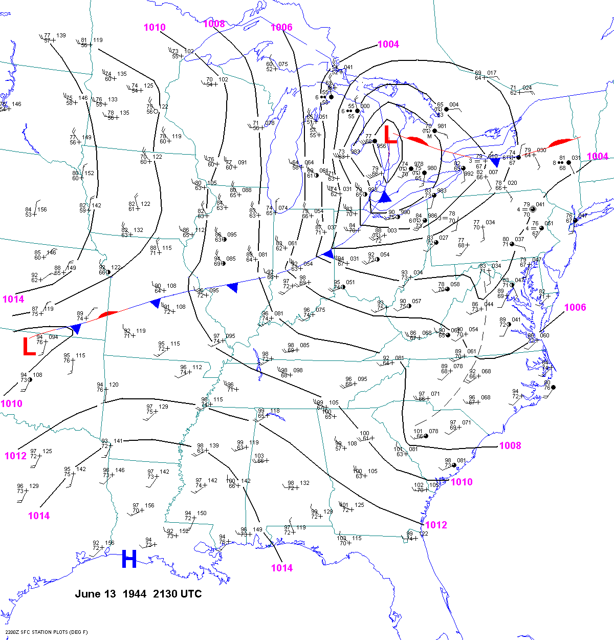
The June 23, 1944 tornado outbreak is one of the most interesting tornado outbreaks. It was extremely impressive and rare with multiple long-tracked violent tornadoes in the central Appalachian mountains which doesn't experience tornadoes much. The environment was impressive with dewpoints in the upper 60s to mid-70s, a deepening surface low (~10 mb in ~9 hours), a strong (>64 kt) mid-level jet streak moving into the region, and a likely strong (>40 kt) low-level jet.
The first violent tornado of the outbreak was a long-tracked family of ~3 tornadoes that tracked through WV, PA, and MD. Numerous homes were leveled by this tornado, especially in Greene County PA. 30 people were killed by this tornado family, 22 of which died in Greene County.
-
The second violent tornado devastated communities and farms south of Pittsburgh PA. Multi-story dwellings were destroyed while single-story homes were leveled according to Grazulis. 17 people were killed along a 50-mile path.
-
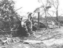
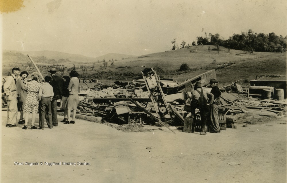
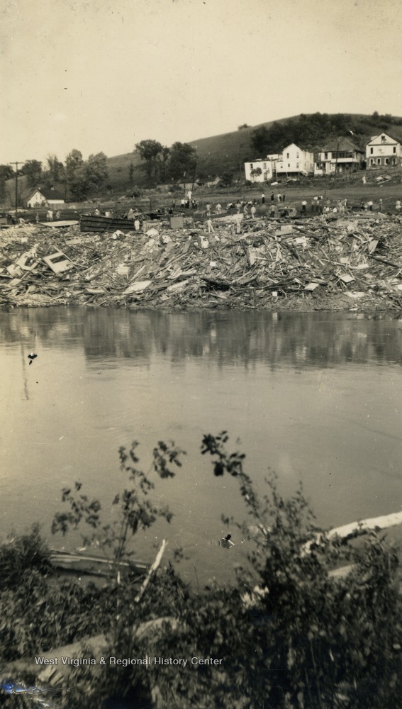
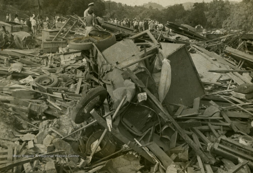
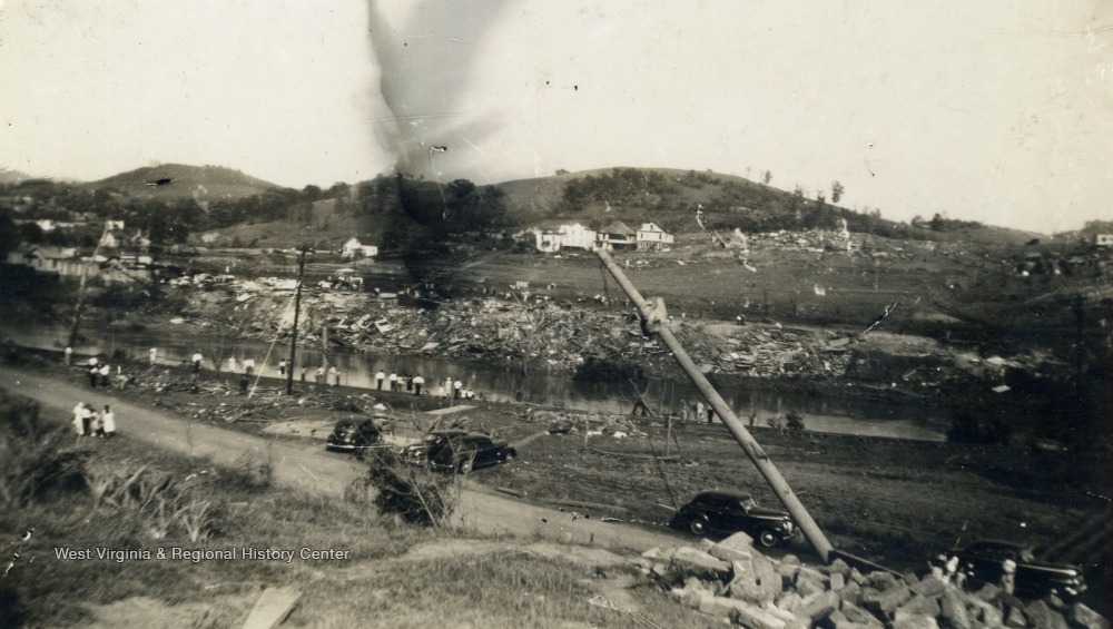
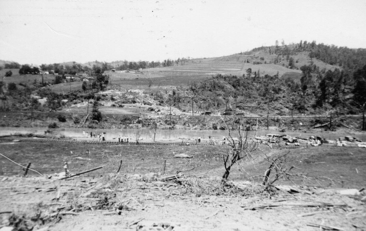
The third violent, most well-known, strongest, and the deadliest tornado of this outbreak was the Shinnston tornado. This tornado killed 100-103 people, 72 of them in 10-mile long area which included Shinnston. Homes were completely leveled and swept away, trees were debarked, a cookstove was reportedly carried 3 miles, street-car tracks were reportedly twisted, a steel radio tower was bent in half, ground scouring occurred as "all vegetation was removed and the mineral soil was exposed," and vehicles were mangled. Some people consider this tornado to be a borderline F5.